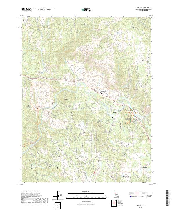
2021 Map of Coloma
USGS Topo · Published 2021About this map
The South Fork American River flows through the heart of this landscape, anchoring the historic settlement of Coloma. As the site of the first gold discovery in the region, the area remains deeply tied to its 19th-century roots, evidenced by the James Marshall Monument Grave and the Pioneer Cem. The terrain is defined by dramatic elevation shifts, from the heights of Mt Ararat and Thompson Hill down to the steep corridors of Granite Canyon and Chuck Ravine.
Find a feature on this map
157 named features on this map. Tap any name to fly to it.
Don’t see what you’re looking for? This feature index may not catch every label — zoom into the map to look around manually.
Map Details
Editions of this 2021 Coloma Map
This is the sole edition of this map. No revisions or reprints were ever made.
Other maps of this area

1891 · Sacramento
USGS Topo · 1:125,000

1891 · Placerville
USGS Topo · 1:125,000

1892 · Sacramento
USGS Topo · 1:125,000

1892 · Placerville
USGS Topo · 1:125,000

1893 · Placerville
USGS Topo · 1:125,000

1893 · Sacramento
USGS Topo · 1:125,000

1941 · Folsom
USGS Topo · 1:62,500
1944 · Auburn
USGS Topo · 1:62,500
1944 · Folsom
USGS Topo · 1:62,500

1947 · Sacramento
USGS Topo · 1:250,000