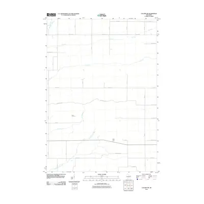
2010 Map of Coloma SW
USGS Topo · Published 2010About this map
Indian Cemetery rests in the western portion of this rural landscape, marking a significant cultural site within a region defined by its hydrography. The terrain is structured by a network of drainage systems, including the southward-flowing Bingham Creek and Carter Creek. In the southeast, the prominent geological feature Ship Rock stands near the intersection of modern road corridors, providing a distinct landmark against the level surrounding topography.
Find a feature on this map
28 named features on this map. Tap any name to fly to it.
Don’t see what you’re looking for? This feature index may not catch every label — zoom into the map to look around manually.
Map Details
Editions of this 2010 Coloma SW Map
This is the sole edition of this map. No revisions or reprints were ever made.
Other maps of this area

1955 · Green Bay
USGS Topo · 1:250,000

1957 · Madison
USGS Topo · 1:250,000

1958 · Arkdale
USGS Topo · 1:48,000

1958 · Coloma
USGS Topo · 1:48,000

1960 · Madison
USGS Topo · 1:250,000

1961 · Oxford
USGS Topo · 1:62,500

1961 · Adams
USGS Topo · 1:62,500

1967 · Roche A Cri
USGS Topo · 1:24,000

1967 · Arkdale NE
USGS Topo · 1:24,000

1968 · Coloma NW
USGS Topo · 1:24,000