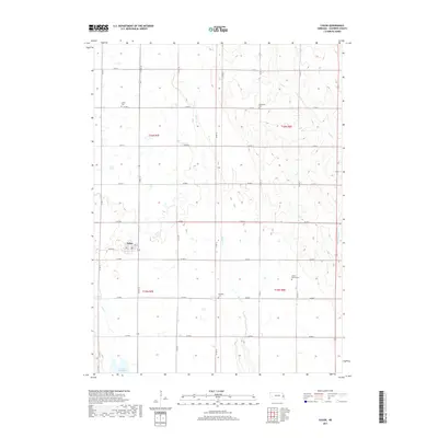
2017 Map of Colon
USGS Topo · Published 2017About this map
Colon serves as the central hub of this eastern Nebraska landscape, where the intersection of Colon Rd and Co Rd 16 defines the local grid. The surrounding countryside is primarily shaped by the drainage patterns of Silver Cr and its tributaries, including Otoe Cr and Upper Clear Cr. A significant modern hydrological feature, Lake Wanahoo, occupies the southwestern corner of the quadrangle, indicating a managed riparian environment.
Find a feature on this map
30 named features on this map. Tap any name to fly to it.
Don’t see what you’re looking for? This feature index may not catch every label — zoom into the map to look around manually.
Map Details
Editions of this 2017 Colon Map
This is the sole edition of this map. No revisions or reprints were ever made.
Other maps of this area

1893 · Fremont
USGS Topo · 1:125,000

1896 · Fremont
USGS Topo · 1:125,000

1899 · Wahoo
USGS Topo · 1:125,000

1955 · Fremont
USGS Topo · 1:250,000

1957 · Fremont
USGS Topo · 1:250,000

1958 · Fremont
USGS Topo · 1:250,000

1968 · Leshara
USGS Topo · 1:24,000
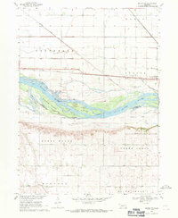
1968 · Malmo NW
USGS Topo · 1:24,000
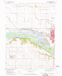
1968 · Fremont West
USGS Topo · 1:24,000

1968 · Fremont East
USGS Topo · 1:24,000