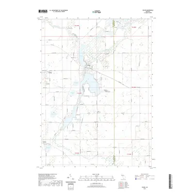
2019 Map of Colon
USGS Topo · Published 2019About this map
The Saint Joseph River winds through the northern portion of this Michigan landscape, anchoring a complex system of interconnected waterways including Sturgeon Lake, Palmer Lake, and the smaller Farrand Lake. At the heart of this hydrographic network is the settlement of Colon, where residential streets are bounded by the river and lakes. The surrounding rural landscape is defined by its glacial hydrology, featuring numerous isolated basins like Washburn Lake, Beaver Lake, and Eberhard Lake.
Find a feature on this map
83 named features on this map. Tap any name to fly to it.
Don’t see what you’re looking for? This feature index may not catch every label — zoom into the map to look around manually.
Map Details
Editions of this 2019 Colon Map
This is the sole edition of this map. No revisions or reprints were ever made.
Other maps of this area
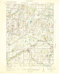
1918 · Union City
USGS Topo · 1:62,500
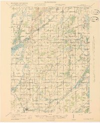
1918 · Leonidas
USGS Topo · 1:62,500
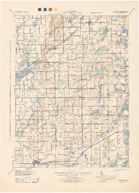
1944 · Leonidas
USGS Topo · 1:62,500
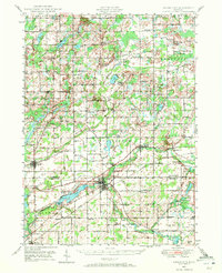
1947 · Union City
USGS Topo · 1:62,500
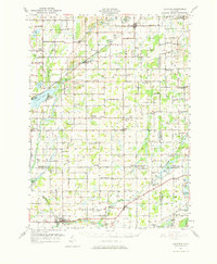
1947 · Leonidas
USGS Topo · 1:62,500
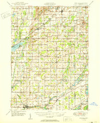
1950 · Leonidas
USGS Topo · 1:62,500
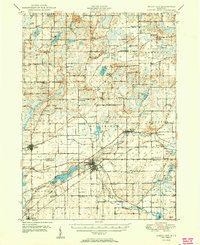
1950 · Union City
USGS Topo · 1:62,500

1953 · Fort Wayne
USGS Topo · 1:250,000

1956 · Fort Wayne
USGS Topo · 1:250,000

1958 · Grand Rapids
USGS Topo · 1:250,000