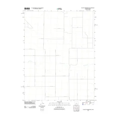
2010 Map of Colony Township NW
USGS Topo · Published 2010About this map
South Ladder Creek meanders through this High Plains landscape in Greeley County, defining the primary natural drainage in an otherwise geometric grid of section lines and gravel roads. In the years following the millennium, this area of Kansas remained a vast agricultural expanse where the infrastructure of farming is dictated by a rigid network of county routes. The map records the essential corridors of local commerce and transit, such as County Hwy G and 13 Mile Rd, which provide the backbone for the scattered farmsteads and rural operations characteristic of this region. The lack of concentrated settlements highlights the importance of these named arteries like County Rd-58 and County Road A in connecting this remote prairie landscape to the larger township hubs.
Find a feature on this map
16 named features on this map. Tap any name to fly to it.
Don’t see what you’re looking for? This feature index may not catch every label — zoom into the map to look around manually.
Map Details
Editions of this 2010 Colony Township NW Map
This is the sole edition of this map. No revisions or reprints were ever made.
Other maps of this area

1892 · Cheyenne Wells
USGS Topo · 1:125,000

1894 · Cheyenne Wells
USGS Topo · 1:125,000

1954 · Lamar
USGS Topo · 1:250,000

1955 · Scott City
USGS Topo · 1:250,000

1958 · Lamar
USGS Topo · 1:250,000

1958 · Scott City
USGS Topo · 1:250,000

1959 · Weskan
USGS Topo · 1:62,500

1968 · Sharon Springs 3 NW
USGS Topo · 1:24,000

1969 · Arapahoe SE
USGS Topo · 1:24,000

1969 · Cheyenne Wells 4 NE
USGS Topo · 1:24,000