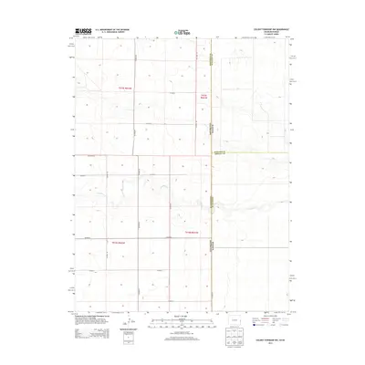
2013 Map of Colony Township NW
USGS Topo · Published 2013About this map
S Ladder Cr meanders through this high plains landscape at the border of Kansas and Colorado, providing a central drainage for the surrounding ranchlands. The area is defined by its precise section-line road network, including thoroughfares such as Co Highway G, Co Road 58, and Co Road 60. These routes trace the legal boundaries of the Public Land Survey System, which is clearly marked by townships such as t015s r042w and t016s r041w. The landscape reflects the systematic agricultural development of the early twenty-first century, where the transition between Colorado and Kansas is marked only by a jurisdictional line and the meeting of Greeley, Wallace, and Cheyenne counties. The survey captures the remote nature of the region, where water courses like S Ladder Cr dictate the topography amidst a strictly gridded human geography.
Find a feature on this map
20 named features on this map. Tap any name to fly to it.
Don’t see what you’re looking for? This feature index may not catch every label — zoom into the map to look around manually.
Map Details
Editions of this 2013 Colony Township NW Map
This is the sole edition of this map. No revisions or reprints were ever made.
Other maps of this area

1892 · Cheyenne Wells
USGS Topo · 1:125,000

1894 · Cheyenne Wells
USGS Topo · 1:125,000

1954 · Lamar
USGS Topo · 1:250,000

1955 · Scott City
USGS Topo · 1:250,000

1958 · Lamar
USGS Topo · 1:250,000

1958 · Scott City
USGS Topo · 1:250,000

1959 · Weskan
USGS Topo · 1:62,500

1968 · Sharon Springs 3 NW
USGS Topo · 1:24,000

1969 · Arapahoe SE
USGS Topo · 1:24,000

1969 · Cheyenne Wells 4 NE
USGS Topo · 1:24,000