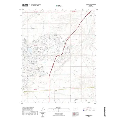
2019 Map of Colorado City
USGS Topo · Published 2019About this map
Colorado City and Greenhorn center this 2019 survey, showcasing a modern residential layout defined by named streets like Jefferson Blvd and Cripple Creek Dr. The landscape is etched by a series of intermittent waterways and canyons, most notably the Graneros Gorge and Pinkney Arroyo which drain toward the northeast. This era of settlement is marked by the presence of local aviation and water management, including The Flying Z Airport and the waters of Bonnie Meade Reservoir.
Find a feature on this map
179 named features on this map. Tap any name to fly to it.
Don’t see what you’re looking for? This feature index may not catch every label — zoom into the map to look around manually.
Map Details
Editions of this 2019 Colorado City Map
This is the sole edition of this map. No revisions or reprints were ever made.
Other maps of this area

1891 · Walsenburg
USGS Topo · 1:125,000

1891 · Pueblo
USGS Topo · 1:125,000

1894 · Walsenburg
USGS Topo · 1:125,000

1894 · Pueblo
USGS Topo · 1:125,000

1896 · Pueblo
USGS Topo · 1:125,000

1897 · Pueblo
USGS Topo · 1:125,000

1897 · Walsenburg
USGS Topo · 1:125,000

1900 · Walsenburg
USGS Topo · 1:125,000

1954 · Trinidad
USGS Topo · 1:250,000

1954 · Pueblo
USGS Topo · 1:250,000