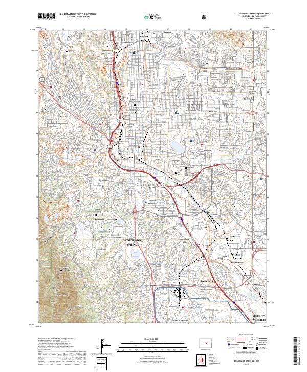
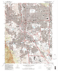
2023 Map of Colorado Springs
USGS Topo · Published 2023About this map
Colorado Springs serves as the focal point of this survey, illustrating the complex suburban and institutional development of the late 20th and early 21st centuries. The map meticulously documents a unique concentration of memorial sites and columbaria, such as the Saint Mary's Cathedral Columbarium and the Shrine of Remembrance Mausoleum, reflecting the city's established role as a residential and spiritual center. To the south, the massive footprint of Fort Carson and the educational hub at Pikes Peak Community College Centennial Campus underscore the region's military and academic importance. Landscape features like Cheyenne Mtn and The Mesa provide a constant geological backdrop to established neighborhoods like Broadmoor and Knob Hill, while specialized infrastructure like the Clover Ditch and numerous greenway trails highlight the ongoing management of water and recreation in this high-altitude environment.
Find a feature on this map
56 named features on this map. Tap any name to fly to it.
Don’t see what you’re looking for? This feature index may not catch every label — zoom into the map to look around manually.
Map Details
Editions of this 2023 Colorado Springs Map
This is the sole edition of this map. No revisions or reprints were ever made.
Historical Maps of Skinners Through Time
10 maps found
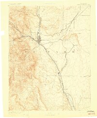
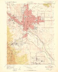
1893 Colorado Springs
El Paso County, CO
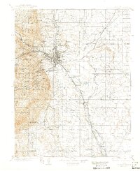
1909 Colorado Springs
El Paso County, CO

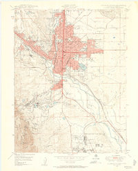
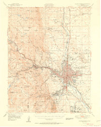
1942 Colorado Springs
El Paso County, CO

1948 Colorado Springs
El Paso County, CO
1948 Colorado Springs
El Paso County, CO
1950 Colorado Springs
El Paso County, CO
1951 Colorado Springs
El Paso County, CO
1961 Colorado Springs
El Paso County, CO
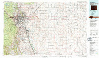
1981 Colorado Springs
El Paso County, CO
2023 Colorado Springs
El Paso County, CO
Featured Locations
- Security-Widefield, CO
- Stratmoor, CO
- Colorado Springs, CO
- Stratton Meadows, Colorado Springs
- Broadmoor, Colorado Springs