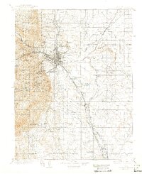
1909 Map of Colorado Springs
USGS Topo · Published 1942About this map
Colorado Springs serves as the focal point of this 1906–1907 survey, where the urban grid meets the dramatic ascent of the Front Range. The map illustrates a complex convergence of early 20th-century transportation, including the Denver and Rio Grande Railroad and the Atchison Topeka and Santa Fe Railroad, which facilitated the region's growth as both a rail hub and a premier resort destination. Westward, the terrain climbs toward landmarks like Manitou and the Cave of the Winds, while the foothills are marked by early social institutions such as the Printers Home. To the east, the landscape opens into prairie settlements like Falcon and Franceville Junction. This study preserves the spatial relationship between industrial rail lines and the natural features of Pike National Forest before the suburban expansion of the later century redefined the valley.
Find a feature on this map
83 named features on this map. Tap any name to fly to it.
Don’t see what you’re looking for? This feature index may not catch every label — zoom into the map to look around manually.
Map Details
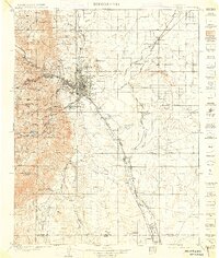
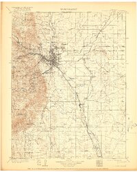
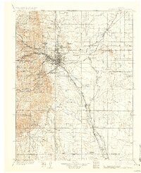
Editions of this 1909 Colorado Springs Map
5 editions found

Other maps of this area

1889 · Canon City
USGS Topo · 1:125,000

1891 · Pueblo
USGS Topo · 1:125,000

1891 · Nepesta
USGS Topo · 1:125,000

1892 · Canon City
USGS Topo · 1:125,000

1893 · Nepesta
USGS Topo · 1:125,000

1893 · Big Springs
USGS Topo · 1:125,000

1893 · Platte Canyon
USGS Topo · 1:125,000

1893 · Colorado Springs
USGS Topo · 1:125,000

1894 · Pikes Peak
USGS Topo · 1:125,000

1894 · Castle Rock
USGS Topo · 1:125,000