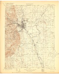
1909 Map of Colorado Springs
USGS Topo · Published 1921About this map
Colorado Springs and the independent municipality of Colorado City serve as the hub for a complex network of railroads and mountain resorts at the dawn of the twentieth century. The geography is defined by the dramatic transition from the plains to the towering peaks of the Front Range, including Cheyenne Mtn and Mt Manitou. This era shows a landscape undergoing rapid institutional and industrial growth, marked by the presence of the Printers Home and the development of Broadmoor.
Find a feature on this map
98 named features on this map. Tap any name to fly to it.
Don’t see what you’re looking for? This feature index may not catch every label — zoom into the map to look around manually.
Map Details
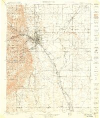
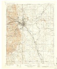
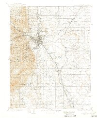
Editions of this 1909 Colorado Springs Map
5 editions found

Other maps of this area

1889 · Canon City
USGS Topo · 1:125,000

1891 · Pueblo
USGS Topo · 1:125,000

1891 · Nepesta
USGS Topo · 1:125,000

1892 · Canon City
USGS Topo · 1:125,000

1893 · Nepesta
USGS Topo · 1:125,000

1893 · Big Springs
USGS Topo · 1:125,000

1893 · Platte Canyon
USGS Topo · 1:125,000

1893 · Colorado Springs
USGS Topo · 1:125,000

1894 · Pikes Peak
USGS Topo · 1:125,000

1894 · Castle Rock
USGS Topo · 1:125,000