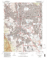
1961 Map of Colorado Springs
USGS Topo · Published 1994About this map
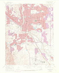
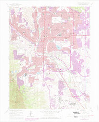
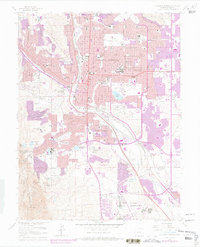
Colorado Springs is captured here during a period of significant mid-century expansion, showing the dense urban grid of the central city as it pushes toward the mountains and the plains. The map reveals the extensive network of public and private institutions that shaped the local identity, from the prestigious Colorado College and the specialized Colorado Sch for the Deaf and Blind to the established Fort Carson Military Reservation in the south. The city's rail heritage is clearly visible through the routes of the Atchison Topeka and Santa Fe RR and the Denver and Rio Grande Western RR, which parallel the north-south corridor of Monument Creek. To the west, the landscape transitions into the foothills, where the refined development of Broadmoor and the residential enclaves of Ivywild meet the canyons, while the east and south show the burgeoning growth of neighborhoods like Stratton Meadows and Knob Hill.
Find a feature on this map
128 named features on this map. Tap any name to fly to it.
Don’t see what you’re looking for? This feature index may not catch every label — zoom into the map to look around manually.
Map Details
Editions of this 1961 Colorado Springs Map
7 editions found
Other maps of this area

1893 · Colorado Springs
USGS Topo · 1:125,000

1909 · Colorado Springs
USGS Topo · 1:125,000

1942 · Colorado Springs
USGS Topo · 1:125,000

1948 · Mount Big Chief
USGS Topo · 1:24,000

1948 · Manitou Springs
USGS Topo · 1:24,000

1948 · Colorado Springs
USGS Topo · 1:62,500

1948 · Pikeview
USGS Topo · 1:24,000

1948 · Cascade
USGS Topo · 1:24,000

1948 · Fountain
USGS Topo · 1:24,000

1948 · Colorado Springs
USGS Topo · 1:24,000
Featured Places
- Colorado Springs, CO
- Security-Widefield, CO
- Knob Hill, Colorado Springs
- Kelker, Colorado Springs
- Fort Carson, CO