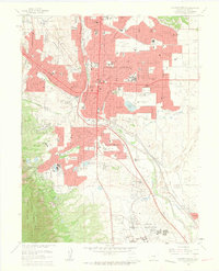
1961 Map of Colorado Springs
USGS Topo · Published 1963About this map
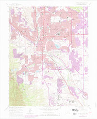
Colorado Springs serves as the focal point of this early 1960s study, revealing the post-war suburban and military expansion that defined the era. The city grid is densely populated with civic anchors like Colorado College, the State Deaf and Blind School, and the International Typographical Union Headquarters. To the east and south, residential growth pushes into Knob Hill and Stratton Meadows, while the northern reaches include the established neighborhood of Roswell.
Find a feature on this map
89 named features on this map. Tap any name to fly to it.
Don’t see what you’re looking for? This feature index may not catch every label — zoom into the map to look around manually.
Map Details
Editions of this 1961 Colorado Springs Map
7 editions found
Other maps of this area

1893 · Colorado Springs
USGS Topo · 1:125,000

1909 · Colorado Springs
USGS Topo · 1:125,000

1942 · Colorado Springs
USGS Topo · 1:125,000

1948 · Mount Big Chief
USGS Topo · 1:24,000

1948 · Manitou Springs
USGS Topo · 1:24,000

1948 · Colorado Springs
USGS Topo · 1:62,500

1948 · Pikeview
USGS Topo · 1:24,000

1948 · Cascade
USGS Topo · 1:24,000

1948 · Fountain
USGS Topo · 1:24,000

1948 · Colorado Springs
USGS Topo · 1:24,000
Featured Places
- Colorado Springs, CO
- Security-Widefield, CO
- Knob Hill, Colorado Springs
- Kelker, Colorado Springs
- Fort Carson, CO