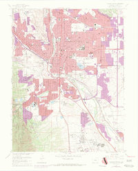
1961 Map of Colorado Springs
USGS Topo · Published 1970About this map
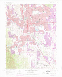
Colorado Springs at the start of the 1960s reveals a city in rapid transition, with significant urban expansion highlighted by later revisions to its residential fringes. The landscape is defined by the convergence of major rail corridors, including the Chicago Rock Island and Pacific and the Atchison Topeka and Santa Fe, which navigate the terrain alongside Monument Creek and Fountain Creek. These waterways and their associated reservoirs, such as Highline Reservoir and Big Stratton Reservoir, provide the framework for the city's early development patterns.
Find a feature on this map
86 named features on this map. Tap any name to fly to it.
Don’t see what you’re looking for? This feature index may not catch every label — zoom into the map to look around manually.
Map Details
Editions of this 1961 Colorado Springs Map
7 editions found
Other maps of this area

1893 · Colorado Springs
USGS Topo · 1:125,000

1909 · Colorado Springs
USGS Topo · 1:125,000

1942 · Colorado Springs
USGS Topo · 1:125,000

1948 · Mount Big Chief
USGS Topo · 1:24,000

1948 · Manitou Springs
USGS Topo · 1:24,000

1948 · Colorado Springs
USGS Topo · 1:62,500

1948 · Pikeview
USGS Topo · 1:24,000

1948 · Cascade
USGS Topo · 1:24,000

1948 · Fountain
USGS Topo · 1:24,000

1948 · Colorado Springs
USGS Topo · 1:24,000
Featured Places
- Colorado Springs, CO
- Security-Widefield, CO
- Knob Hill, Colorado Springs
- Kelker, Colorado Springs
- Fort Carson, CO