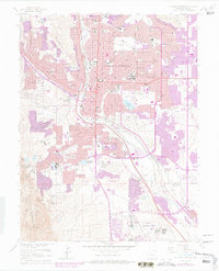
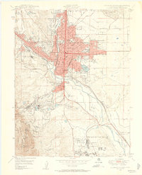
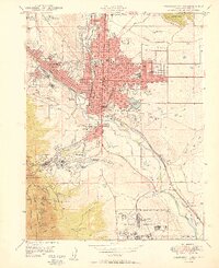
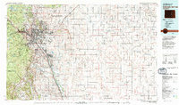
1961 Map of Colorado Springs
USGS Topo · Published 1978About this map
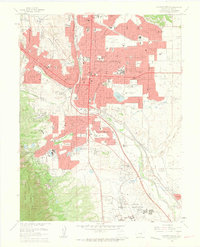
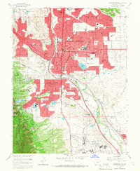
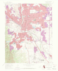
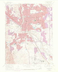
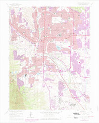
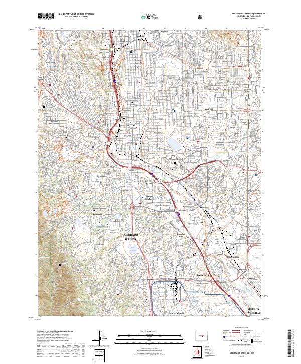
Colorado Springs transitions from a mid-century city into a modern urban center on this map, which includes significant purple-tinted revisions from 1969 and 1975. The layout captures the established downtown grid around Acacia Park and the historic campus of Colorado College. To the south, the landscape becomes increasingly specialized, featuring the high-altitude Cheyenne Mountain Zoo and the Will Rogers Shrine of the Sun overlooking the expansive grounds of the Broadmoor and its golf course.
Find a feature on this map
86 named features on this map. Tap any name to fly to it.
Don’t see what you’re looking for? This feature index may not catch every label — zoom into the map to look around manually.
Map Details
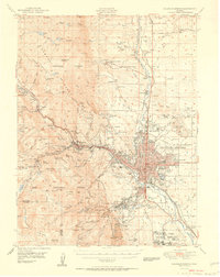
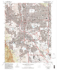
Editions of this 1961 Colorado Springs Map
7 editions found
Historical Maps of Colorado Springs Through Time
14 maps found
1893 Colorado Springs
El Paso County, CO
1909 Colorado Springs
El Paso County, CO

1942 Colorado Springs
El Paso County, CO

1948 Colorado Springs
El Paso County, CO
1948 Colorado Springs
El Paso County, CO
1950 Colorado Springs
El Paso County, CO
1951 Colorado Springs
El Paso County, CO
1961 Colorado Springs
El Paso County, CO
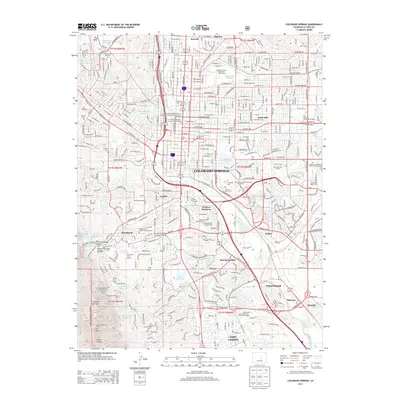
1981 Colorado Springs
El Paso County, CO

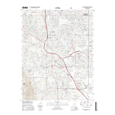
2011 Colorado Springs
El Paso County, CO
2013 Colorado Springs
El Paso County, CO
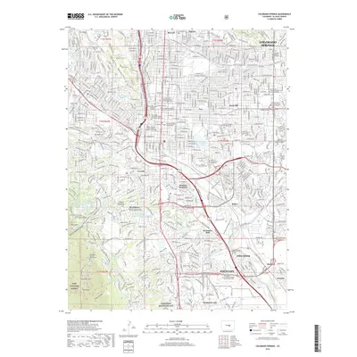
2016 Colorado Springs
El Paso County, CO
2019 Colorado Springs
El Paso County, CO
2023 Colorado Springs
El Paso County, CO
Featured Locations
- Fort Carson, CO
- Security-Widefield, CO
- Colorado Springs, CO
- Kelker, Colorado Springs
- Knob Hill, Colorado Springs