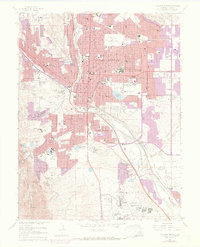
1961 Map of Colorado Springs
USGS Topo · Published 1970About this map
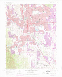
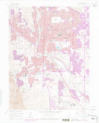
Colorado Springs and its surrounding suburbs undergo significant post-war expansion in this 1961 survey, which includes 1969 revisions that show the growth of urban areas. The map details the transition from the historic city core, centered around Colorado College and the State Deaf and Blind School, toward newer residential and military developments. To the south and east, the landscape features the Fort Carson Military Reservation and Ent Air Force Base, reflecting the area's increasing strategic importance. Notable local landmarks like the Union Printers Home, Cheyenne Mountain Zoo, and the Will Rogers Shrine of the Sun are prominent against the backdrop of the Pike National Forest. Transport networks are well-defined by the Denver and Rio Grande Western RR and the Atchison Topeka and Santa Fe railroad, which serve established communities like Roswell, Papeton, and Stratmoor Hills.
Find a feature on this map
87 named features on this map. Tap any name to fly to it.
Don’t see what you’re looking for? This feature index may not catch every label — zoom into the map to look around manually.
Map Details
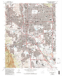
Editions of this 1961 Colorado Springs Map
7 editions found
Other maps of this area

1893 · Colorado Springs
USGS Topo · 1:125,000

1909 · Colorado Springs
USGS Topo · 1:125,000

1942 · Colorado Springs
USGS Topo · 1:125,000

1948 · Mount Big Chief
USGS Topo · 1:24,000

1948 · Manitou Springs
USGS Topo · 1:24,000

1948 · Colorado Springs
USGS Topo · 1:62,500

1948 · Pikeview
USGS Topo · 1:24,000

1948 · Cascade
USGS Topo · 1:24,000

1948 · Fountain
USGS Topo · 1:24,000

1948 · Colorado Springs
USGS Topo · 1:24,000
Featured Places
- Colorado Springs, CO
- Security-Widefield, CO
- Knob Hill, Colorado Springs
- Kelker, Colorado Springs
- Fort Carson, CO