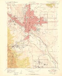
1950 Map of Colorado Springs
USGS Topo · Published 1950About this map
Colorado Springs centers this 1950 topographical study, illustrating the city's post-war expansion and its intersection with major institutional landmarks. The urban grid is dense with essential civic sites, including City Hall, the Post Office, and notable healthcare centers like St Francis Hospital and Memorial Hospital. To the north and east, neighborhoods like Roswell and Knob Hill define the residential limits, while the iconic Colorado College campus sits near the heart of the city.
Find a feature on this map
67 named features on this map. Tap any name to fly to it.
Don’t see what you’re looking for? This feature index may not catch every label — zoom into the map to look around manually.
Map Details
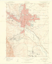
Editions of this 1950 Colorado Springs Map
2 editions found
Other maps of this area

1893 · Colorado Springs
USGS Topo · 1:125,000

1909 · Colorado Springs
USGS Topo · 1:125,000

1942 · Colorado Springs
USGS Topo · 1:125,000

1948 · Mount Big Chief
USGS Topo · 1:24,000

1948 · Manitou Springs
USGS Topo · 1:24,000

1948 · Colorado Springs
USGS Topo · 1:62,500

1948 · Pikeview
USGS Topo · 1:24,000

1948 · Cascade
USGS Topo · 1:24,000

1948 · Fountain
USGS Topo · 1:24,000

1948 · Colorado Springs
USGS Topo · 1:24,000
Featured Places
- Colorado Springs, CO
- Security-Widefield, CO
- Knob Hill, Colorado Springs
- Kelker, Colorado Springs
- Fort Carson, CO