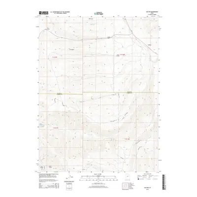
2014 Map of Colton
USGS Topo · Published 2014About this map
The high-desert confluence at Colton serves as the focal point for this survey of the rugged highlands where Utah and Carbon counties meet. The landscape is defined by the headwaters of the Price River and White River, which carve deep drainage systems through prominent terrain features like Joes Ridge and Wide Ridge. The presence of Scofield Reservoir in the southwestern corner highlights the vital water management infrastructure of this arid region.
Find a feature on this map
32 named features on this map. Tap any name to fly to it.
Don’t see what you’re looking for? This feature index may not catch every label — zoom into the map to look around manually.
Map Details
Editions of this 2014 Colton Map
This is the sole edition of this map. No revisions or reprints were ever made.
Other maps of this area

1885 · Manti
USGS Topo · 1:250,000

1886 · Price River
USGS Topo · 1:250,000

1895 · Manti
USGS Topo · 1:250,000

1896 · Price River
USGS Topo · 1:250,000

1914 · Castle Gate
USGS Topo · 1:62,500

1916 · Castle Gate
USGS Topo · 1:62,500

1923 · Scofield
USGS Topo · 1:62,500

1925 · Scofield
USGS Topo · 1:62,500

1939 · Soldier Summit
USGS Topo · 1:62,500

1942 · Soldier Summit
USGS Topo · 1:62,500