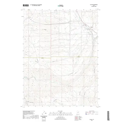
2020 Map of Colton
USGS Topo · Published 2020About this map
The high-country terrain of the Wasatch Plateau defines this landscape, where the settlement of Colton sits at the junction of Spring Canyon and Woods Canyon. This region is a critical hydrological divide, marked by the headwaters of the White River flowing northward while the Price River and Beaver Cr drain to the south. The map reveals a complex network of ridgelines and drainage basins, including Joes Ridge and Wide Ridge, which separate deep incisions like Long Canyon and Miller Canyon. Numerous water sources such as Wing Spring and Sawmill Spring dot the higher elevations of Dry Valley. A distinct series of roads with spiritual and functional names, including Revelation Rd, Salvation Rd, and Church Property Rd, suggests a specific history of land use and property ownership across the Utah County and Carbon County line.
Find a feature on this map
24 named features on this map. Tap any name to fly to it.
Don’t see what you’re looking for? This feature index may not catch every label — zoom into the map to look around manually.
Map Details
Editions of this 2020 Colton Map
This is the sole edition of this map. No revisions or reprints were ever made.
Other maps of this area
1885 · Manti
USGS Topo · 1:250,000
1886 · Price River
USGS Topo · 1:250,000
1895 · Manti
USGS Topo · 1:250,000
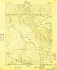
1896 · Price River
USGS Topo · 1:250,000
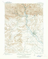
1914 · Castle Gate
USGS Topo · 1:62,500
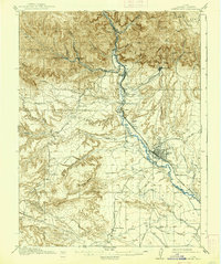
1916 · Castle Gate
USGS Topo · 1:62,500
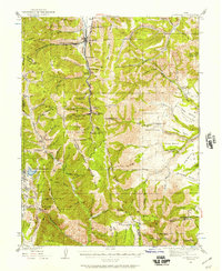
1923 · Scofield
USGS Topo · 1:62,500
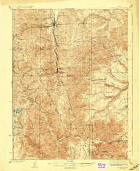
1925 · Scofield
USGS Topo · 1:62,500
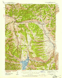
1939 · Soldier Summit
USGS Topo · 1:62,500
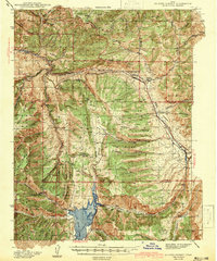
1942 · Soldier Summit
USGS Topo · 1:62,500