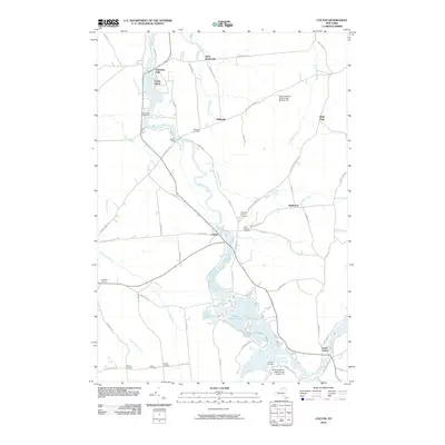
2010 Map of Colton
USGS Topo · Published 2010About this map
The Raquette River carves a winding path through the heart of Saint Lawrence County, anchoring the settlements of Colton, South Colton, and Hannawa Falls. This 2010 topographic record captures a landscape where river hydrology and conservation land-use intersect, evidenced by the broad waters of the Warm Brook Flow and Arbuckle Pond situated south of the main village. The presence of numerous burial grounds, including Riverside Cemetery, Pleasant Mound Cemetery, and Saint Patrick Cemetery, provides valuable geographic points for genealogists tracing family roots in these North Country hamlets.
Find a feature on this map
72 named features on this map. Tap any name to fly to it.
Don’t see what you’re looking for? This feature index may not catch every label — zoom into the map to look around manually.
Map Details
Editions of this 2010 Colton Map
This is the sole edition of this map. No revisions or reprints were ever made.
Other maps of this area

1908 · Potsdam
USGS Topo · 1:62,500

1910 · Canton
USGS Topo · 1:62,500

1911 · Canton
USGS Topo · 1:62,500

1915 · Russell
USGS Topo · 1:62,500

1918 · Russell
USGS Topo · 1:62,500

1921 · Stark
USGS Topo · 1:62,500

1923 · Stark
USGS Topo · 1:62,500

1940 · Stark
USGS Topo · 1:62,500

1942 · Long Bow
USGS Topo · 1:24,000

1943 · Potsdam
USGS Topo · 1:31,680