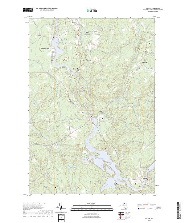
2023 Map of Colton
USGS Topo · Published 2023About this map
The Raquette River defines the landscape of this St. Lawrence County quadrangle, flowing through the central valley and supporting a sequence of settlements and hydroelectric reservoirs. In the hamlet of Colton, the river is flanked by civic landmarks including Pleasant Mound Cem and Saint Patrick Cem. Further south, the expansive waters of Warm Brook Flow and the protected lands of Higley Flow State Park indicate the area's dual character as both a working watershed and a recreational destination.
Find a feature on this map
93 named features on this map. Tap any name to fly to it.
Don’t see what you’re looking for? This feature index may not catch every label — zoom into the map to look around manually.
Map Details
Editions of this 2023 Colton Map
This is the sole edition of this map. No revisions or reprints were ever made.
Other maps of this area

1908 · Potsdam
USGS Topo · 1:62,500

1910 · Canton
USGS Topo · 1:62,500

1911 · Canton
USGS Topo · 1:62,500

1915 · Russell
USGS Topo · 1:62,500

1918 · Russell
USGS Topo · 1:62,500

1921 · Stark
USGS Topo · 1:62,500

1923 · Stark
USGS Topo · 1:62,500

1940 · Stark
USGS Topo · 1:62,500

1942 · Long Bow
USGS Topo · 1:24,000

1943 · Potsdam
USGS Topo · 1:31,680