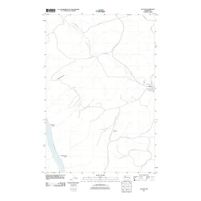
2011 Map of Colton
USGS Topo · Published 2011About this map
Colton serves as the primary hub in this corner of Whitman County, its street grid defined by names like Steptoe St and Depot St near the eastern edge. The surrounding landscape transitions from the agricultural plateaus into deep drainage systems carved toward the southwest. The Snake River cuts a prominent path through the corner of the map, fed by a network of steep coulees and draws including Yakawawa Canyon and Schultheis Canyon.
Find a feature on this map
27 named features on this map. Tap any name to fly to it.
Don’t see what you’re looking for? This feature index may not catch every label — zoom into the map to look around manually.
Map Details
Editions of this 2011 Colton Map
This is the sole edition of this map. No revisions or reprints were ever made.
Other maps of this area

1910 · Pullman
USGS Topo · 1:125,000

1943 · Peola
USGS Topo · 1:62,500

1945 · Clarkston
USGS Topo · 1:62,500

1946 · Peola
USGS Topo · 1:62,500

1948 · Clarkston
USGS Topo · 1:62,500

1955 · Pullman
USGS Topo · 1:250,000

1958 · Pullman
USGS Topo · 1:250,000

1964 · Moscow West
USGS Topo · 1:24,000

1964 · Colton
USGS Topo · 1:24,000

1964 · Ewartsville
USGS Topo · 1:24,000