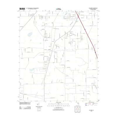
2012 Map of Columbia
USGS Topo · Published 2012About this map
The community of Columbia and the nearby settlement of Bass anchor this portrait of north-central Florida. The landscape is defined by the winding paths of Rose Cr, Cannon Cr, and Clay Hole Cr, which dictate the local drainage patterns and original settlement clusters. Evidence of the area's established history is found at Athens Cem and the Columbia Community Cem, providing important anchor points for family history researchers. Transportation and infrastructure are central to the area's layout, from the Delta Airport in the north to the extensive network of residential and county roads like SW Co Road 242. This 2012 survey illustrates a transition from agricultural land to more dense residential plotting, particularly along the SW Tustenuggee Ave corridor.
Find a feature on this map
149 named features on this map. Tap any name to fly to it.
Don’t see what you’re looking for? This feature index may not catch every label — zoom into the map to look around manually.
Map Details
Editions of this 2012 Columbia Map
This is the sole edition of this map. No revisions or reprints were ever made.
Other maps of this area

1954 · Gainesville
USGS Topo · 1:250,000

1954 · Valdosta
USGS Topo · 1:250,000

1958 · Valdosta
USGS Topo · 1:250,000

1958 · Gainesville
USGS Topo · 1:250,000

1959 · Valdosta
USGS Topo · 1:250,000

1959 · Gainesville
USGS Topo · 1:250,000

1962 · Lake City East
USGS Topo · 1:24,000

1962 · Mikesville
USGS Topo · 1:24,000

1963 · Ellisville
USGS Topo · 1:24,000

1963 · Columbia
USGS Topo · 1:24,000