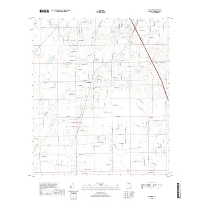
2018 Map of Columbia
USGS Topo · Published 2018About this map
Columbia and Bass define the residential heart of this Northern Florida landscape, situated within a dense network of local roads and land divisions. The terrain is marked by distinct water features including Rose Cr and Clay-Hole Cr, while aviation and community services are represented by Delta Airport and several localized burial grounds. Family-named and descriptive roads such as SW Drew Feagle Ave, SW Mayflower Gln, and SW Turkey Gln suggest a period of rural development and residential growth. This 2018 survey captures a community where traditional land use, represented by sites like Athens Cem and Pleasant Grove Cem, persists alongside modern rural infrastructure, providing a detailed record of the area's property lines and township grids.
Find a feature on this map
116 named features on this map. Tap any name to fly to it.
Don’t see what you’re looking for? This feature index may not catch every label — zoom into the map to look around manually.
Map Details
Editions of this 2018 Columbia Map
This is the sole edition of this map. No revisions or reprints were ever made.
Other maps of this area

1954 · Gainesville
USGS Topo · 1:250,000

1954 · Valdosta
USGS Topo · 1:250,000

1958 · Valdosta
USGS Topo · 1:250,000

1958 · Gainesville
USGS Topo · 1:250,000

1959 · Valdosta
USGS Topo · 1:250,000

1959 · Gainesville
USGS Topo · 1:250,000

1962 · Lake City East
USGS Topo · 1:24,000

1962 · Mikesville
USGS Topo · 1:24,000

1963 · Ellisville
USGS Topo · 1:24,000

1963 · Columbia
USGS Topo · 1:24,000