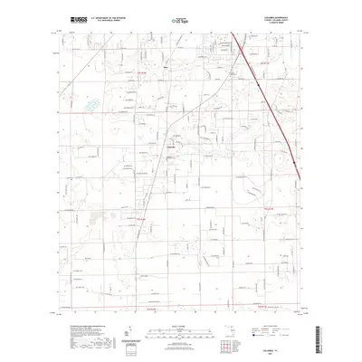
2021 Map of Columbia
USGS Topo · Published 2021About this map
Bass and the surrounding Columbia County landscape are defined by a network of residential developments and rural road corridors south of the Georgia border. This contemporary survey shows the modern settlement patterns of Columbia, where family names like Crews farm Rd and Steedley Rd intersect with newer residential streets such as Arrowhead Ter and Windswept Gln. The area maintains its local heritage through several burial grounds, including the Pleasant Grove Cem, the Columbia Community Cem, and Athens Cem. Aviation infrastructure is represented by the Delta Airport located near the northern edge of the map. Natural drainage is primarily indicated by Rose Creek, which winds through the central portion of the quadrangle. The map captures the transition from established agricultural lands to structured rural subdivisions, organized under the Public Land Survey System grids of Township 4 and 5 South.
Find a feature on this map
155 named features on this map. Tap any name to fly to it.
Don’t see what you’re looking for? This feature index may not catch every label — zoom into the map to look around manually.
Map Details
Editions of this 2021 Columbia Map
This is the sole edition of this map. No revisions or reprints were ever made.
Other maps of this area

1954 · Gainesville
USGS Topo · 1:250,000

1954 · Valdosta
USGS Topo · 1:250,000

1958 · Valdosta
USGS Topo · 1:250,000

1958 · Gainesville
USGS Topo · 1:250,000

1959 · Valdosta
USGS Topo · 1:250,000

1959 · Gainesville
USGS Topo · 1:250,000

1962 · Lake City East
USGS Topo · 1:24,000

1962 · Mikesville
USGS Topo · 1:24,000

1963 · Ellisville
USGS Topo · 1:24,000

1963 · Columbia
USGS Topo · 1:24,000