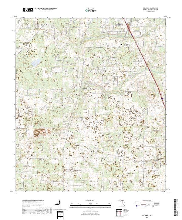
2024 Map of Columbia
USGS Topo · Published 2024About this map
Columbia and the nearby settlement of Bass anchor this landscape in North Central Florida, where rural road networks and watercourses define the local geography. The area is marked by significant genealogical landmarks, including the Columbia Community Cem, Pleasant Grove Cem, and Athens Cem, providing critical reference points for local family histories. These sites are situated amidst a terrain drained by Clay Hole Creek and Rose Creek, showing the persistence of traditional land divisions such as T4S R16E and T5S R17E. The presence of the Delta Airport in the northern section highlights the area's modern transportation infrastructure alongside established corridors like Co Rd 242 and SW Pecan Gln. The map captures a detailed view of the community's evolution, from its agricultural roots to contemporary residential development patterns.
Find a feature on this map
81 named features on this map. Tap any name to fly to it.
Don’t see what you’re looking for? This feature index may not catch every label — zoom into the map to look around manually.
Map Details
Editions of this 2024 Columbia Map
This is the sole edition of this map. No revisions or reprints were ever made.
Other maps of this area

1954 · Gainesville
USGS Topo · 1:250,000

1954 · Valdosta
USGS Topo · 1:250,000

1958 · Valdosta
USGS Topo · 1:250,000

1958 · Gainesville
USGS Topo · 1:250,000

1959 · Valdosta
USGS Topo · 1:250,000

1959 · Gainesville
USGS Topo · 1:250,000

1962 · Lake City East
USGS Topo · 1:24,000

1962 · Mikesville
USGS Topo · 1:24,000

1963 · Ellisville
USGS Topo · 1:24,000

1963 · Columbia
USGS Topo · 1:24,000