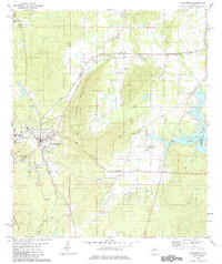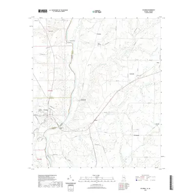
1970 Map of Columbia
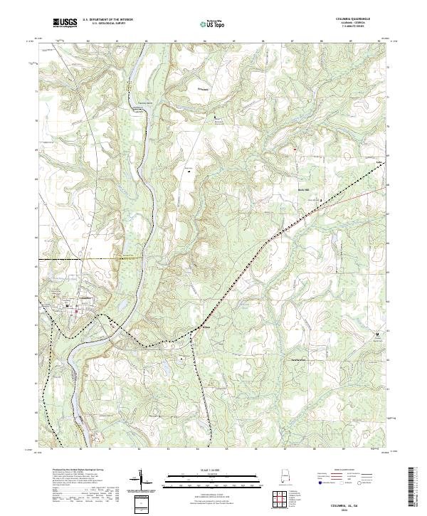
USGS Topo · Published 1981About this map
The Chattahoochee River serves as the central artery and state boundary between Alabama and Georgia in this detailed study. The town of Columbia anchors the Alabama side, where industry and transportation intersect at the Columbia State Dock and the Central of Georgia railroad. Local landmarks such as the George W Andrews Lock and Dam highlight the river's managed engineering, while cultural centers like Freeman Chapel, Morning Star Ch, and Ebenezer Ch mark the rural landscape. A notable piece of heritage is preserved at the Covered Bridge on Coheelee Creek. The topography reveals a mix of industrial activity, including Claypits and Gravel Pits, alongside recreational spots like the Omusee Creek Public Use Area, illustrating the river's dual role in local economy and leisure.
Find a feature on this map
56 named features on this map. Tap any name to fly to it.
Don’t see what you’re looking for? This feature index may not catch every label — zoom into the map to look around manually.
Map Details
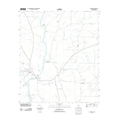
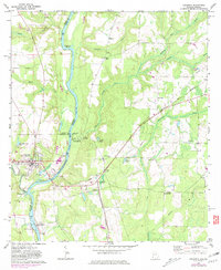
Editions of this 1970 Columbia Map
2 editions found
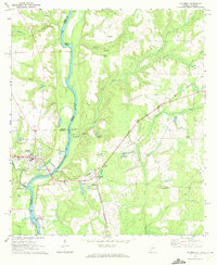
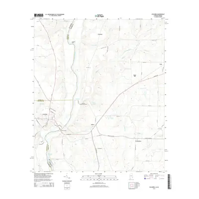
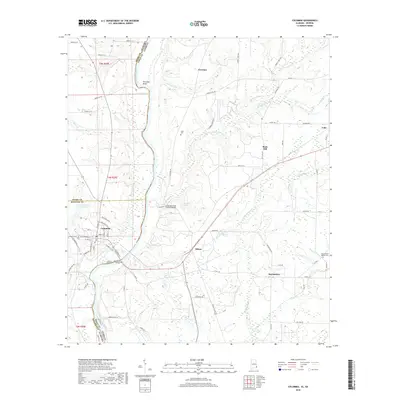
Historical Maps of Columbia Through Time
7 maps found