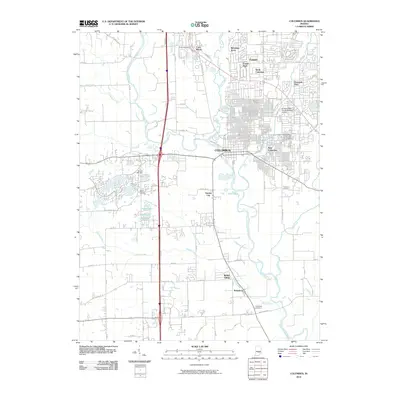
2010 Map of Columbus
USGS Topo · Published 2010About this map
The Columbus city center and its surrounding residential neighborhoods appear in high detail during the early 21st century, showing a landscape defined by the convergence of major waterways and expanding infrastructure. The confluence of the Flatrock River and the Driftwood River gives way to the East Fork White River, which carves south through the center of the sheet. To the west, the landscape transitions from urban grid to water management and recreation around Terrace Lake, Crystal Lake, and Wood Lake. Local history and genealogy are anchored by several established burial grounds, including Garland Brook Cemetery near East Columbus and the Thompson Cemetery to the south. The layout of the modern city is further shaped by specialized sites like the Bartholomew County Hospital Airport and smaller surrounding communities such as Garden City, Walesboro, and Bethel Village.
Find a feature on this map
53 named features on this map. Tap any name to fly to it.
Don’t see what you’re looking for? This feature index may not catch every label — zoom into the map to look around manually.
Map Details
Editions of this 2010 Columbus Map
This is the sole edition of this map. No revisions or reprints were ever made.
Other maps of this area

1942 · Franklin
USGS Topo · 1:125,000

1942 · Columbus
USGS Topo · 1:125,000

1947 · Franklin
USGS Topo · 1:62,500

1947 · Hope
USGS Topo · 1:24,000

1948 · Edinburg
USGS Topo · 1:24,000

1948 · New Bellsville
USGS Topo · 1:24,000

1948 · Hope
USGS Topo · 1:24,000

1948 · Waymansville
USGS Topo · 1:24,000

1948 · Nineveh
USGS Topo · 1:24,000

1950 · Franklin
USGS Topo · 1:62,500