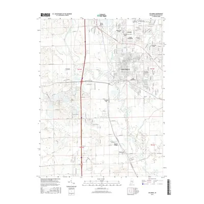
2016 Map of Columbus
USGS Topo · Published 2016About this map
The confluence of the Driftwood River and the Flatrock River forms the East Fork White River here, anchoring the development of Columbus and its surrounding communities. This 2016 survey documents the extensive residential and commercial expansion of the area, from the established neighborhoods of North Columbus and East Columbus to newer developments like Riverview Acres and Everroad Park. The landscape is a mix of dense urban grids and the winding courses of Haw Creek and Clifty Creek, which have influenced the city's modern layout and park system.
Find a feature on this map
86 named features on this map. Tap any name to fly to it.
Don’t see what you’re looking for? This feature index may not catch every label — zoom into the map to look around manually.
Map Details
Editions of this 2016 Columbus Map
This is the sole edition of this map. No revisions or reprints were ever made.
Other maps of this area

1942 · Franklin
USGS Topo · 1:125,000

1942 · Columbus
USGS Topo · 1:125,000

1947 · Franklin
USGS Topo · 1:62,500

1947 · Hope
USGS Topo · 1:24,000

1948 · Edinburg
USGS Topo · 1:24,000

1948 · New Bellsville
USGS Topo · 1:24,000

1948 · Hope
USGS Topo · 1:24,000

1948 · Waymansville
USGS Topo · 1:24,000

1948 · Nineveh
USGS Topo · 1:24,000

1950 · Franklin
USGS Topo · 1:62,500