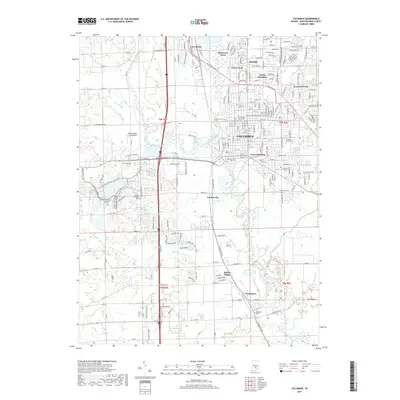
2019 Map of Columbus
USGS Topo · Published 2019About this map
The Flatrock River and Driftwood River converge at Columbus to form the East Fork White River, creating a landscape defined by significant watercourse intersections. This survey documents the modern suburban and industrial expansion of Bartholomew County, showing established neighborhoods like Parkside, Everroad Park, and North Columbus alongside the legacy of older settlements. To the south, the industrial corridor follows the Southern RR through Garden City and down toward Walesboro. Genealogists will find several notable burial grounds, including the large Garland Brook Cem and the more secluded Daugherty Cem. Unique aviation history is preserved at the Strietelmeier Flying Field, while the recreational geography of the area is highlighted by Clifty Creek Park and the extensive Tipton Lakes Trails network wrapping around Terrace Lake.
Find a feature on this map
89 named features on this map. Tap any name to fly to it.
Don’t see what you’re looking for? This feature index may not catch every label — zoom into the map to look around manually.
Map Details
Editions of this 2019 Columbus Map
This is the sole edition of this map. No revisions or reprints were ever made.
Other maps of this area

1942 · Franklin
USGS Topo · 1:125,000

1942 · Columbus
USGS Topo · 1:125,000

1947 · Franklin
USGS Topo · 1:62,500

1947 · Hope
USGS Topo · 1:24,000

1948 · Edinburg
USGS Topo · 1:24,000

1948 · New Bellsville
USGS Topo · 1:24,000

1948 · Hope
USGS Topo · 1:24,000

1948 · Waymansville
USGS Topo · 1:24,000

1948 · Nineveh
USGS Topo · 1:24,000

1950 · Franklin
USGS Topo · 1:62,500