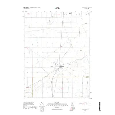
2019 Map of Columbus Grove
USGS Topo · Published 2019About this map
Columbus Grove serves as the central hub of this Putnam County landscape, where the local road network and rail lines converge. The town's grid is flanked by significant local history sites, including the Saint Anthony Cem to the west and Bogart Cem to the east. The surrounding rural townships are defined by a dense system of range and township roads, such as RD M and TWP HWY 11j, which reflect the late-modern agricultural organization of Northwest Ohio.
Find a feature on this map
92 named features on this map. Tap any name to fly to it.
Don’t see what you’re looking for? This feature index may not catch every label — zoom into the map to look around manually.
Map Details
Editions of this 2019 Columbus Grove Map
This is the sole edition of this map. No revisions or reprints were ever made.
Other maps of this area

1906 · Columbus Grove
USGS Topo · 1:62,500

1907 · Bluffton
USGS Topo · 1:62,500

1908 · Columbus Grove
USGS Topo · 1:62,500

1908 · Ottawa
USGS Topo · 1:62,500

1950 · Marion
USGS Topo · 1:250,000

1953 · Fort Wayne
USGS Topo · 1:250,000

1953 · Muncie
USGS Topo · 1:250,000

1956 · Muncie
USGS Topo · 1:250,000

1956 · Fort Wayne
USGS Topo · 1:250,000

1956 · Toledo
USGS Topo · 1:250,000