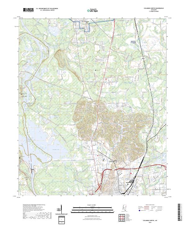
2024 Map of Columbus North
USGS Topo · Published 2024About this map
The Tombigbee River and the engineering of the Tennessee-Tombigbee Waterway dominate this portion of Lowndes County. The landscape is defined by an intricate network of cutoffs and sloughs, including the Waverly Cutoff and Stinson Creek Cutoff, which illustrate the modern management of these historic waterways. To the north, the presence of Columbus AFB marks a significant military footprint, while the city of Columbus anchors the southern edge near the confluence of Moore Creek and Luxapalilla Creek.
Find a feature on this map
207 named features on this map. Tap any name to fly to it.
Don’t see what you’re looking for? This feature index may not catch every label — zoom into the map to look around manually.
Map Details
Editions of this 2024 Columbus North Map
This is the sole edition of this map. No revisions or reprints were ever made.
Other maps of this area

1953 · West Point
USGS Topo · 1:250,000

1958 · West Point
USGS Topo · 1:250,000

1959 · Artesia
USGS Topo · 1:62,500

1959 · West Point
USGS Topo · 1:62,500

1960 · Caledonia
USGS Topo · 1:62,500

1960 · Columbus
USGS Topo · 1:62,500

1963 · West Point
USGS Topo · 1:250,000

1982 · West Point
USGS Topo · 1:100,000

1984 · West Point
USGS Topo · 1:250,000
1987 · Hamilton
USGS Topo · 1:24,000