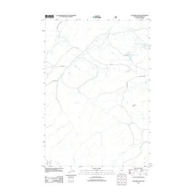
2012 Map of Columbus Peak
USGS Topo · Published 2012About this map
Columbus Peak anchors this corner of Sheridan County, where the high-altitude hydrology of the Bighorn Mountains is managed through a complex network of man-made and natural watercourses. The landscape is defined by its water management history, evidenced by the Tschirgi Ditch Number 1 and Church Ditch, which redirect flow across the high plateaus. These engineering works parallel numerous mountain streams, including Twin Creek and the various forks of East Pass Creek, supporting the high-country reservoirs.
Find a feature on this map
26 named features on this map. Tap any name to fly to it.
Don’t see what you’re looking for? This feature index may not catch every label — zoom into the map to look around manually.
Map Details
Editions of this 2012 Columbus Peak Map
This is the sole edition of this map. No revisions or reprints were ever made.
Other maps of this area

1894 · Rosebud
USGS Topo · 1:125,000

1894 · St. Xavier
USGS Topo · 1:125,000

1895 · Dayton
USGS Topo · 1:125,000

1898 · Bald Mountain
USGS Topo · 1:125,000

1901 · Rosebud
USGS Topo · 1:125,000

1901 · Dayton
USGS Topo · 1:125,000

1901 · St. Xavier
USGS Topo · 1:125,000

1901 · Bald Mountain
USGS Topo · 1:125,000

1954 · Hardin
USGS Topo · 1:250,000

1955 · Sheridan
USGS Topo · 1:250,000