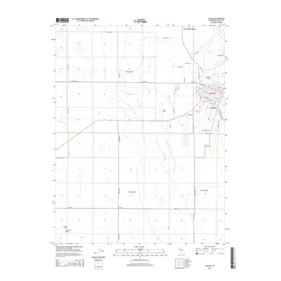
2015 Map of Colusa
USGS Topo · Published 2015About this map
The Sacramento River defines the eastern edge of this agricultural landscape, where the water's meandering path creates distinctive features like Cobbs Bend and Arnold Bend. In the heart of the Sacramento Valley, the city of Colusa serves as a hub of activity, its street grid laid out near the riverbank while the surrounding terrain is dominated by a complex network of drainage and irrigation. Notable waterways such as the Colusa Trough, Powell Slough, and the Cheney Slough Irrigation Canal illustrate the intensive water management required for the region's productive farmlands. To the north, the Colusa Rancheria and the calm waters of Sabin Lake offer a contrast to the geometric precision of the valley's road system, which includes long stretches like Lone Star Rd and San Jose Rd. Small aviation interests are represented by the centrally located Davis Airport, highlighting the region's connection to wider transit networks.
Find a feature on this map
68 named features on this map. Tap any name to fly to it.
Don’t see what you’re looking for? This feature index may not catch every label — zoom into the map to look around manually.
Map Details
Editions of this 2015 Colusa Map
This is the sole edition of this map. No revisions or reprints were ever made.
Other maps of this area

1888 · Marysville
USGS Topo · 1:125,000

1891 · Marysville
USGS Topo · 1:125,000

1894 · Marysville
USGS Topo · 1:125,000

1895 · Marysville
USGS Topo · 1:125,000

1906 · Maxwell
USGS Topo · 1:62,500

1907 · Colusa
USGS Topo · 1:62,500

1911 · Sanborn Slough
USGS Topo · 1:31,680

1911 · Grimes
USGS Topo · 1:31,680

1912 · Meridian
USGS Topo · 1:31,680

1917 · Compton Landing
USGS Topo · 1:31,680