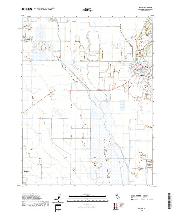
2022 Map of Colusa
USGS Topo · Published 2022About this map
The Colusa riverfront and its surrounding agricultural basin represent a sophisticated water management landscape along the Sacramento River. In the town center, civil structures like the Colusa County Courthouse and its County Courthouse Annex sit near the river's edge, reflecting the community's role as a regional seat of government. To the west, the flat terrain of the Central Valley is crisscrossed by an extensive network of waterways, including the Colusa-Trough Main Canal and the Cheney Slough Irrigation Canal, which are vital to the area's intensive farming.
Find a feature on this map
74 named features on this map. Tap any name to fly to it.
Don’t see what you’re looking for? This feature index may not catch every label — zoom into the map to look around manually.
Map Details
Editions of this 2022 Colusa Map
This is the sole edition of this map. No revisions or reprints were ever made.
Other maps of this area

1888 · Marysville
USGS Topo · 1:125,000

1891 · Marysville
USGS Topo · 1:125,000

1894 · Marysville
USGS Topo · 1:125,000

1895 · Marysville
USGS Topo · 1:125,000

1906 · Maxwell
USGS Topo · 1:62,500

1907 · Colusa
USGS Topo · 1:62,500

1911 · Sanborn Slough
USGS Topo · 1:31,680

1911 · Grimes
USGS Topo · 1:31,680

1912 · Meridian
USGS Topo · 1:31,680

1917 · Compton Landing
USGS Topo · 1:31,680