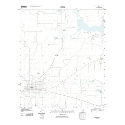
2010 Map of Comanche
USGS Topo · Published 2010About this map
Comanche serves as the regional hub in this 2010 survey of Central Texas, where the town’s grid-like street pattern meets the winding course of Indian Creek. The surrounding landscape is defined by its water management and agricultural infrastructure, evidenced by a series of family-named reservoirs and dams such as E J Alderman Lake and Bingham Brothers Lake. To the northeast, the significant expanse of Proctor Lake is held by Proctor Dam, a centerpiece of the area’s hydrography. Small settlements and local history landmarks are scattered throughout the rural sections, including Vandyke and Gartman View. For genealogists and local historians, the map provides precise locations for several regional burial grounds, from Oakwood Cemetery near the city center to the more secluded Zion Hill Cemetery, Antioch Cemetery, and Sardis Cemetery. Transportation corridors like FM 3381 and several county roads connect these rural outposts with the Comanche County-City Airport.
Find a feature on this map
60 named features on this map. Tap any name to fly to it.
Don’t see what you’re looking for? This feature index may not catch every label — zoom into the map to look around manually.
Map Details
Editions of this 2010 Comanche Map
This is the sole edition of this map. No revisions or reprints were ever made.
Other maps of this area

1888 · Hamilton
USGS Topo · 1:125,000

1889 · Brownwood
USGS Topo · 1:125,000

1890 · Stephenville
USGS Topo · 1:125,000

1894 · Hamilton
USGS Topo · 1:125,000

1894 · Eastland
USGS Topo · 1:125,000

1894 · Brownwood
USGS Topo · 1:125,000

1920 · Stephenville
USGS Topo · 1:125,000

1954 · Brownwood
USGS Topo · 1:250,000

1954 · Abilene
USGS Topo · 1:250,000

1956 · Gustine
USGS Topo · 1:62,500