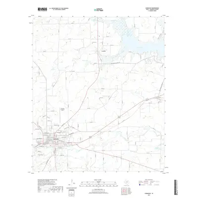
2019 Map of Comanche
USGS Topo · Published 2019About this map
Comanche serves as the focal point of this Central Texas landscape, situated at the junction of several regional routes and the Fort Worth and Western Railroad. The town’s layout is documented down to individual street names, featuring Oakwood Cem on its northern edge. To the north, the small settlement of Vandyke sits near the upper reaches of Proctor Lake, which dominates the northeastern portion of the map.
Find a feature on this map
88 named features on this map. Tap any name to fly to it.
Don’t see what you’re looking for? This feature index may not catch every label — zoom into the map to look around manually.
Map Details
Editions of this 2019 Comanche Map
This is the sole edition of this map. No revisions or reprints were ever made.
Other maps of this area

1888 · Hamilton
USGS Topo · 1:125,000

1889 · Brownwood
USGS Topo · 1:125,000

1890 · Stephenville
USGS Topo · 1:125,000

1894 · Hamilton
USGS Topo · 1:125,000

1894 · Eastland
USGS Topo · 1:125,000

1894 · Brownwood
USGS Topo · 1:125,000

1920 · Stephenville
USGS Topo · 1:125,000

1954 · Brownwood
USGS Topo · 1:250,000

1954 · Abilene
USGS Topo · 1:250,000

1956 · Gustine
USGS Topo · 1:62,500