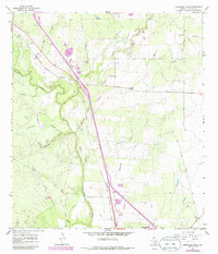
1965 Map of Comanche Hills
USGS Topo · Published 1986About this map
The Atascosa River carves a winding path through this South Texas landscape, defined by a network of drainage hollows and intermittent creeks that feed into the river valley. In the mid-1960s, the Missouri Pacific railroad and the adjacent corridor for Route 281 provided the primary north-south infrastructure for this ranching and mineral-rich region. The small settlement of Suniland serves as a central reference point, located near the confluence of Weedy Creek and the river plains.
Find a feature on this map
22 named features on this map. Tap any name to fly to it.
Don’t see what you’re looking for? This feature index may not catch every label — zoom into the map to look around manually.
Map Details
Editions of this 1965 Comanche Hills Map
2 editions found
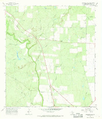
Other maps of this area

1920 · Mikeska
USGS Topo · 1:125,000

1925 · Simmons No. 1
USGS Topo · 1:48,000

1927 · Oakville
USGS Topo · 1:62,500

1929 · Simmons
USGS Topo · 1:62,500

1930 · Whitsett
USGS Topo · 1:62,500

1942 · Whitsett
USGS Topo · 1:62,500

1953 · Crystal City
USGS Topo · 1:250,000

1955 · Crystal City
USGS Topo · 1:250,000

1956 · Suniland
USGS Topo · 1:62,500

1961 · Crystal City
USGS Topo · 1:250,000