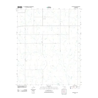
2012 Map of Comanche SE
USGS Topo · Published 2012About this map
The Palacine Oil Field dominates the northern reaches of this Oklahoma landscape, illustrating the regional legacy of energy extraction. This 2012 survey captures a rural territory defined by its hydraulic network, where the waters of Deer Cr and its S Fork Deer Cr converge with the various branches of Mud Cr, including W Mud Cr and E Mud Cr. The land is neatly partitioned by a grid of rural routes such as n2900 RD and e1850 RD, providing access to isolated points of interest. For those exploring local family histories, the inclusion of Woolsey Cem serves as a significant genealogical marker amidst the section lines and creek bottoms of Stephens County.
Find a feature on this map
19 named features on this map. Tap any name to fly to it.
Don’t see what you’re looking for? This feature index may not catch every label — zoom into the map to look around manually.
Map Details
Editions of this 2012 Comanche SE Map
This is the sole edition of this map. No revisions or reprints were ever made.
Other maps of this area

1901 · Addington
USGS Topo · 1:125,000

1957 · Ardmore
USGS Topo · 1:250,000

1962 · Ryan
USGS Topo · 1:62,500

1963 · Ardmore
USGS Topo · 1:250,000

1963 · Harrisburg
USGS Topo · 1:24,000

1964 · Comanche SE
USGS Topo · 1:24,000

1964 · Duncan South
USGS Topo · 1:24,000

1964 · Comanche
USGS Topo · 1:24,000

1974 · Ringling NW
USGS Topo · 1:24,000

1974 · Loco
USGS Topo · 1:24,000