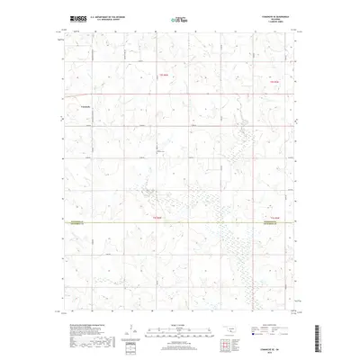
2018 Map of Comanche SE
USGS Topo · Published 2018About this map
The Oklahoma prairie south of Comanche is defined by a dense network of seasonal drainages and rural sections lines at the border of Stephens and Jefferson counties. The landscape is dominated by the confluence of numerous waterways, including the meandering paths of Deer Cr and Mud Cr, alongside their various branches such as S Fork Deer Cr, E Mud Cr, and W Mud Cr. These streams create a complex pattern of wetlands and low-lying areas that have dictated the placement of local infrastructure and land divisions for generations.
Find a feature on this map
24 named features on this map. Tap any name to fly to it.
Don’t see what you’re looking for? This feature index may not catch every label — zoom into the map to look around manually.
Map Details
Editions of this 2018 Comanche SE Map
This is the sole edition of this map. No revisions or reprints were ever made.
Other maps of this area

1901 · Addington
USGS Topo · 1:125,000

1957 · Ardmore
USGS Topo · 1:250,000

1962 · Ryan
USGS Topo · 1:62,500

1963 · Ardmore
USGS Topo · 1:250,000

1963 · Harrisburg
USGS Topo · 1:24,000

1964 · Comanche SE
USGS Topo · 1:24,000

1964 · Duncan South
USGS Topo · 1:24,000

1964 · Comanche
USGS Topo · 1:24,000

1974 · Ringling NW
USGS Topo · 1:24,000

1974 · Loco
USGS Topo · 1:24,000