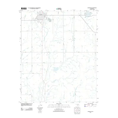
2012 Map of Comanche
USGS Topo · Published 2012About this map
Comanche sits at the intersection of local history and rural geography in this early 21st-century record of Stephens County. The town's grid is clearly defined by local thoroughfares such as Texas Ave and Ash Ave, with Old Hwy 81 and the central Railroad line anchoring the community's traditional transit corridor. This landscape is shaped by an extensive network of waterways, including Cow Creek and its associated Cow Creek Site 8 Reservoir, which illustrate the region's managed water resources. Beyond the town limits, the terrain transitions into a systematic section-line road grid with routes like S Tucker Rd and N2850 Rd providing access to outlying acreage. In the northeastern corner, Comanche Lake serves as a prominent landmark, while smaller tributaries like Cotton Creek and Monument Creek create a branching drainage pattern across the prairie.
Find a feature on this map
36 named features on this map. Tap any name to fly to it.
Don’t see what you’re looking for? This feature index may not catch every label — zoom into the map to look around manually.
Map Details
Editions of this 2012 Comanche Map
This is the sole edition of this map. No revisions or reprints were ever made.
Other maps of this area

1901 · Addington
USGS Topo · 1:125,000

1955 · Lawton
USGS Topo · 1:250,000

1957 · Hastings
USGS Topo · 1:62,500

1957 · Ardmore
USGS Topo · 1:250,000

1962 · Ryan
USGS Topo · 1:62,500

1962 · Temple
USGS Topo · 1:62,500

1963 · Ardmore
USGS Topo · 1:250,000

1963 · Harrisburg
USGS Topo · 1:24,000

1964 · Comanche SE
USGS Topo · 1:24,000

1964 · Duncan South
USGS Topo · 1:24,000