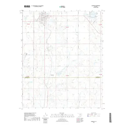
2018 Map of Comanche
USGS Topo · Published 2018About this map
Comanche anchors the northern portion of this landscape, its residential grid defined by thoroughfares like North Ave, Oak Main Ave, and Texas Ave. The town's proximity to Cow Creek and the Old US Hwy 81 corridor highlights its historical development as a regional hub near the Stephens and Jefferson County line. The surrounding terrain is heavily influenced by water management and aviation, featuring the Wildlife Ranch Airport to the west and a series of water bodies including Comanche Lake and the Cow Cr Site 29 Reservoir.
Find a feature on this map
44 named features on this map. Tap any name to fly to it.
Don’t see what you’re looking for? This feature index may not catch every label — zoom into the map to look around manually.
Map Details
Editions of this 2018 Comanche Map
This is the sole edition of this map. No revisions or reprints were ever made.
Other maps of this area

1901 · Addington
USGS Topo · 1:125,000

1955 · Lawton
USGS Topo · 1:250,000

1957 · Hastings
USGS Topo · 1:62,500

1957 · Ardmore
USGS Topo · 1:250,000

1962 · Ryan
USGS Topo · 1:62,500

1962 · Temple
USGS Topo · 1:62,500

1963 · Ardmore
USGS Topo · 1:250,000

1963 · Harrisburg
USGS Topo · 1:24,000

1964 · Comanche SE
USGS Topo · 1:24,000

1964 · Duncan South
USGS Topo · 1:24,000