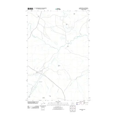
2011 Map of Comb Rock
USGS Topo · Published 2011About this map
The Dearborn River and its numerous tributaries, including the South Fork Dearborn River and Pruden Creek, carve through this section of Lewis and Clark County. This 2011 survey illustrates a landscape primarily defined by large-scale ranching and prominent geographical landmarks. Notable holdings such as Ostle Ranch, Burggraff Ranch, and Murphy Ranch are scattered across the terrain, indicating the enduring agricultural and pastoral character of the region. The map provides essential detail for genealogical research, specifically marking the Dearborn Cemetery near the confluence of Jeffries Creek. High elevation points such as Comb Rock, Limekiln Mountain, and Painted Hill offer distinct navigational anchors within the river valley. The winding course of Deadman Coulee Rd serves as a primary artery connecting these isolated rural estates and natural basins like Nicholas Basin.
Find a feature on this map
22 named features on this map. Tap any name to fly to it.
Don’t see what you’re looking for? This feature index may not catch every label — zoom into the map to look around manually.
Map Details
Editions of this 2011 Comb Rock Map
This is the sole edition of this map. No revisions or reprints were ever made.
Other maps of this area

1943 · Hogan
USGS Topo · 1:125,000

1955 · Choteau
USGS Topo · 1:250,000

1957 · Choteau
USGS Topo · 1:250,000

1958 · Choteau
USGS Topo · 1:250,000
1961 · Roberts Mountain
USGS Topo · 1:24,000
1961 · Wolf Creek
USGS Topo · 1:24,000
1961 · Coburn Mountain
USGS Topo · 1:24,000
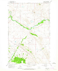
1961 · Comb Rock
USGS Topo · 1:24,000

1962 · Choteau
USGS Topo · 1:250,000
1962 · Bowmans Corners
USGS Topo · 1:24,000