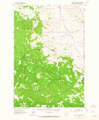
1961 Map of Roberts Mountain
USGS Topo · Published 1964About this map
The high peaks of Lewis and Clark County dominate this early 1960s survey, defined by the towering presence of Roberts Mountain and Rogers Mountain. This is a landscape of established ranching and homesteading, where isolated operations like B Hicks Ranch and the Johnson Homestead are connected by the Stearns Wolf Creek Road. The pattern of land use reveals a reliance on the drainage networks of Wolf Creek and Rock Creek, where springs provide critical water for high-altitude livestock operations.
Find a feature on this map
37 named features on this map. Tap any name to fly to it.
Don’t see what you’re looking for? This feature index may not catch every label — zoom into the map to look around manually.
Map Details
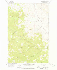
Editions of this 1961 Roberts Mountain Map
2 editions found
Other maps of this area

1889 · Helena
USGS Topo · 1:250,000

1893 · Helena
USGS Topo · 1:250,000

1899 · Helena
USGS Topo · 1:250,000

1903 · Helena
USGS Topo · 1:250,000

1943 · Hogan
USGS Topo · 1:125,000

1947 · Butte
USGS Topo · 1:250,000

1955 · Choteau
USGS Topo · 1:250,000

1957 · Choteau
USGS Topo · 1:250,000

1958 · Butte
USGS Topo · 1:250,000

1958 · Choteau
USGS Topo · 1:250,000