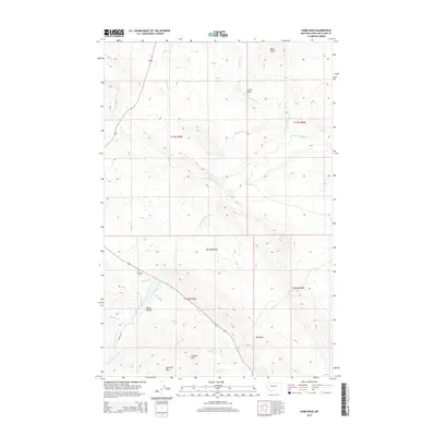
2014 Map of Comb Rock
USGS Topo · Published 2014About this map
The Dearborn River and its numerous tributaries, including Jeffries Cr and Auchard Cr, define this section of the Montana landscape. Near the river's path sits the Dearborn Cem, a key landmark for local genealogical research. The terrain is marked by significant vertical relief, featuring named peaks such as Comb Rock, Limekiln Mtn, and Black Rock, alongside distinctive geological formations like The Reef.
Find a feature on this map
23 named features on this map. Tap any name to fly to it.
Don’t see what you’re looking for? This feature index may not catch every label — zoom into the map to look around manually.
Map Details
Editions of this 2014 Comb Rock Map
This is the sole edition of this map. No revisions or reprints were ever made.
Other maps of this area

1943 · Hogan
USGS Topo · 1:125,000

1955 · Choteau
USGS Topo · 1:250,000

1957 · Choteau
USGS Topo · 1:250,000

1958 · Choteau
USGS Topo · 1:250,000
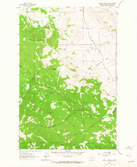
1961 · Roberts Mountain
USGS Topo · 1:24,000
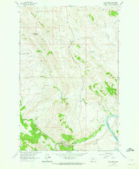
1961 · Wolf Creek
USGS Topo · 1:24,000
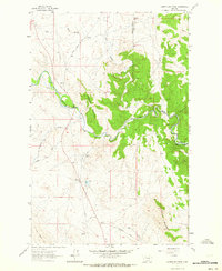
1961 · Coburn Mountain
USGS Topo · 1:24,000
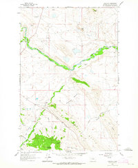
1961 · Comb Rock
USGS Topo · 1:24,000

1962 · Choteau
USGS Topo · 1:250,000
1962 · Bowmans Corners
USGS Topo · 1:24,000