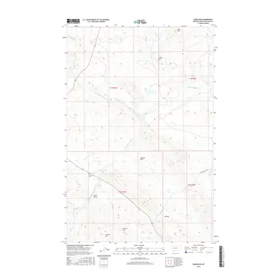
2017 Map of Comb Rock
USGS Topo · Published 2017About this map
The Dearborn River carves through this northern Montana landscape, where the high-altitude terrain is marked by prominent formations like Comb Rock and Limekiln Mtn. Near the convergence of Jeffries Cr and the river, the Dearborn Cem stands as a focal point for local family history. The drainage network is dense with named features such as Auchard Cr and the S Fork Dearborn River, while the Gibson Rennig Ditch indicates the management of water for land use in the region. Notable landmarks such as The Reef and Nicholas Basin break the topography, providing clear navigational markers across the township boundaries. This 2017 survey documents the modern layout of rural infrastructure, including Deadman Coulee Rd, alongside traditional natural features like Painted Hill and Game Coulee.
Find a feature on this map
24 named features on this map. Tap any name to fly to it.
Don’t see what you’re looking for? This feature index may not catch every label — zoom into the map to look around manually.
Map Details
Editions of this 2017 Comb Rock Map
This is the sole edition of this map. No revisions or reprints were ever made.
Other maps of this area

1943 · Hogan
USGS Topo · 1:125,000

1955 · Choteau
USGS Topo · 1:250,000

1957 · Choteau
USGS Topo · 1:250,000

1958 · Choteau
USGS Topo · 1:250,000
1961 · Roberts Mountain
USGS Topo · 1:24,000
1961 · Wolf Creek
USGS Topo · 1:24,000
1961 · Coburn Mountain
USGS Topo · 1:24,000
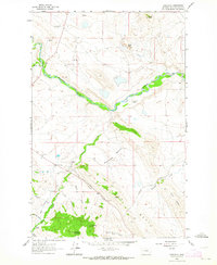
1961 · Comb Rock
USGS Topo · 1:24,000

1962 · Choteau
USGS Topo · 1:250,000
1962 · Bowmans Corners
USGS Topo · 1:24,000