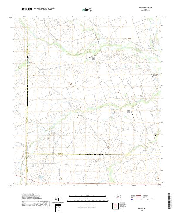
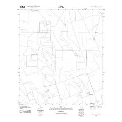
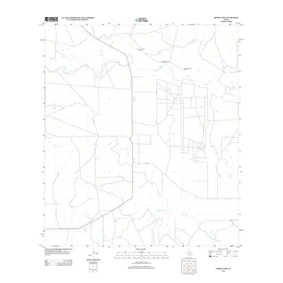
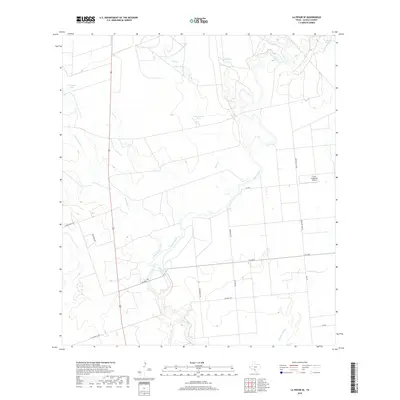
2022 Map of Cometa
USGS Topo · Published 2022About this map
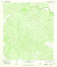
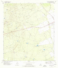
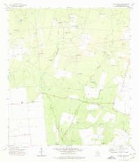
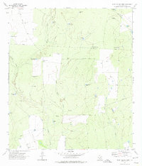
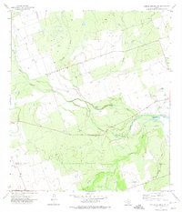
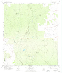
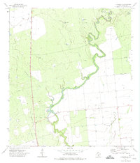
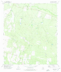
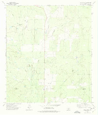
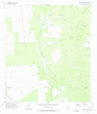
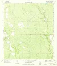
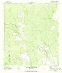
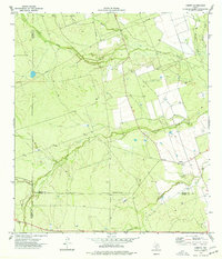
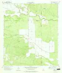
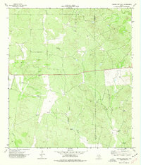
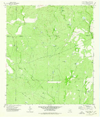
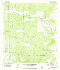
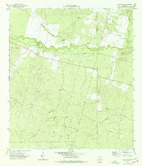
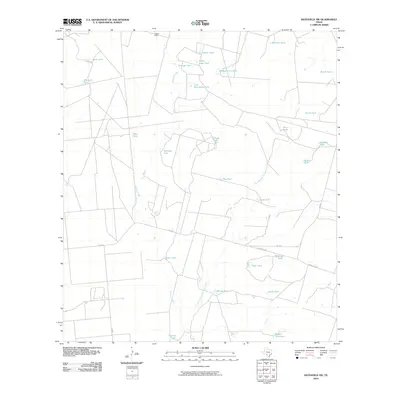
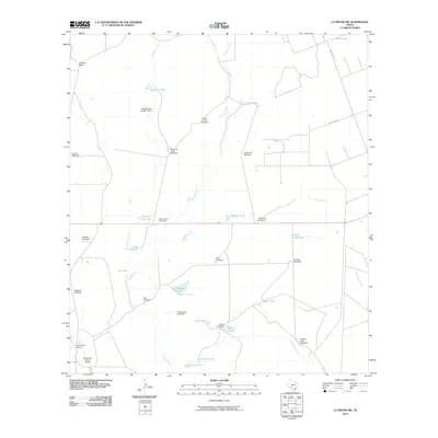
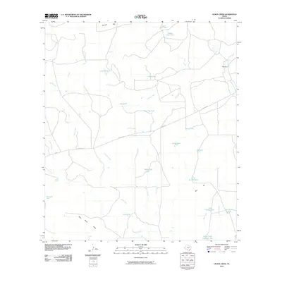
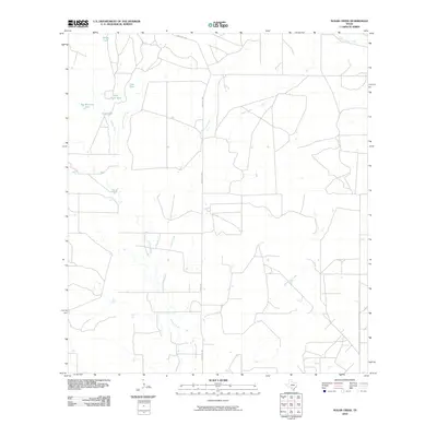
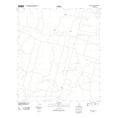
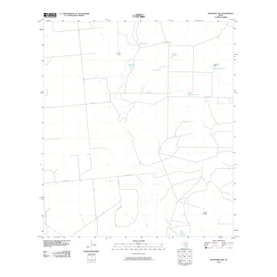
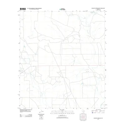
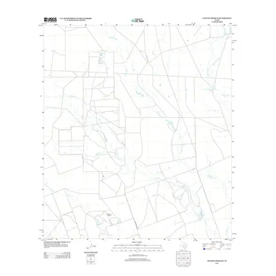
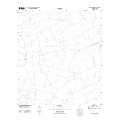
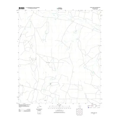
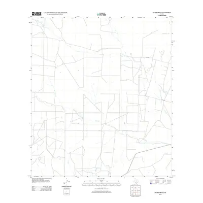
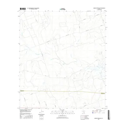
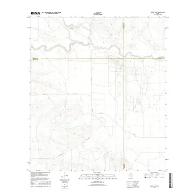
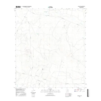
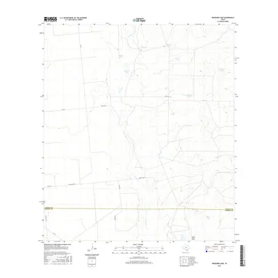
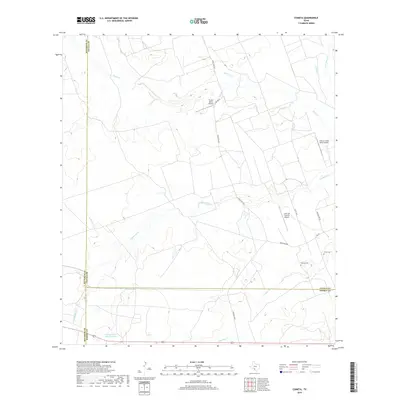
Cometa Cem and Vivian Cem mark the long-standing community roots within this South Texas landscape where the boundaries of Zavala, Dimmit, and Maverick counties meet. The area is defined by a dendritic network of intermittent drainages, including Comanche Cr, Picosa Cr, and Pendencia Cr, which carve through the brush country. This 2022 survey illustrates a modern ranching economy reliant on private aviation and water management, evidenced by the Picosa Ranch Airport, Loma De Cometa Airport, and the Farias Ranch Lake Number 1. Roads like FM 393 and Ranch Rd 2691 provide the primary connections across the multi-county line area, linking remote ranch steadings to the broader region.
Find a feature on this map
20 named features on this map. Tap any name to fly to it.
Don’t see what you’re looking for? This feature index may not catch every label — zoom into the map to look around manually.
Map Details
Editions of this 2022 Cometa Map
This is the sole edition of this map. No revisions or reprints were ever made.
Historical Maps of Cometa Through Time
126 maps found
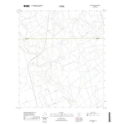
1960 Pulliam Ranch
Zavala County, TX
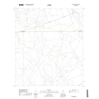
1960 Sand Mountain
Zavala County, TX
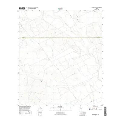
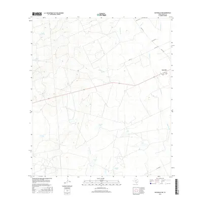
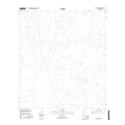
1971 Batesville Hill
Zavala County, TX
1971 Lone Tree Hill
Zavala County, TX
1972 Batesville NW
Zavala County, TX
1972 Batesville SW
Zavala County, TX
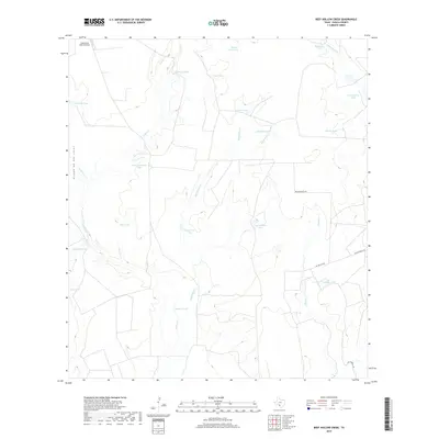
1972 Beef Hollow Creek
Zavala County, TX
1972 Carrizo Springs NW
Zavala County, TX
1972 La Pryor NW
Zavala County, TX
1972 La Pryor SE
Zavala County, TX
1972 Loma Vista
Zavala County, TX
1972 Sugar Creek
Zavala County, TX
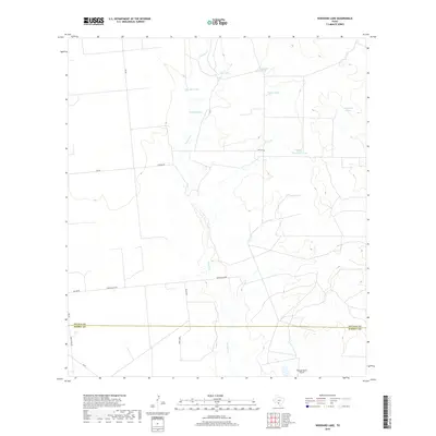
1972 Woodard Lake
Zavala County, TX
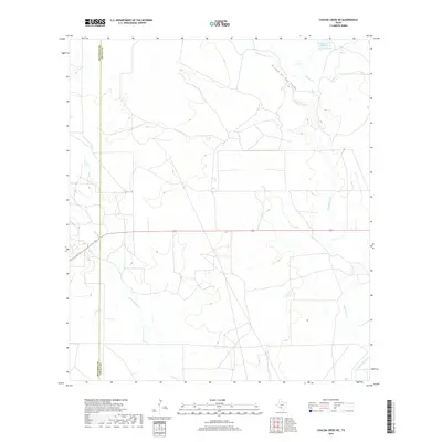
1974 Chacon Creek NE
Zavala County, TX
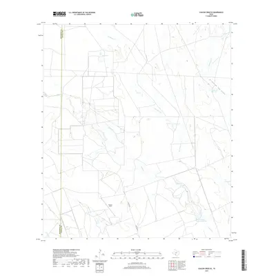
1974 Chacon Creek SE
Zavala County, TX
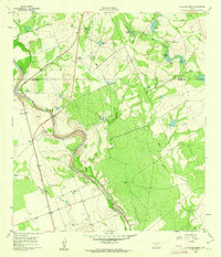
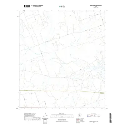
1974 Cometa
Zavala County, TX
1974 Gross Tank
Zavala County, TX
1974 Johnnie Little Hill
Zavala County, TX
1974 Olmos Creek
Zavala County, TX
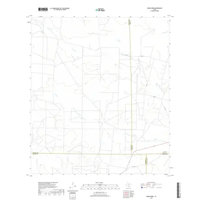
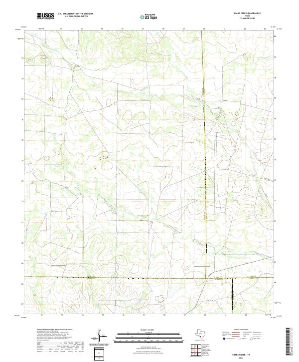
1974 Snake Creek
Zavala County, TX
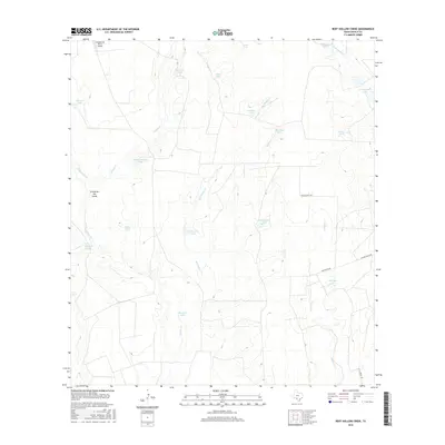
1974 West Ranch
Zavala County, TX
2010 Batesville Hill
Zavala County, TX
2010 Batesville NW
Zavala County, TX
2010 Batesville SW
Zavala County, TX
2010 Beef Hollow Creek
Zavala County, TX
2010 Carrizo Springs NW
Zavala County, TX
2010 Chacon Creek NE
Zavala County, TX
2010 Chacon Creek SE
Zavala County, TX
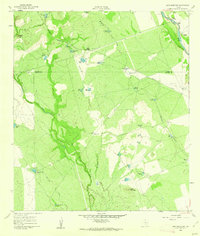
2010 Cometa
Zavala County, TX
2010 Gross Tank
Zavala County, TX
2010 Johnnie Little Hill
Zavala County, TX
2010 La Pryor NW
Zavala County, TX
2010 La Pryor SE
Zavala County, TX
2010 Loma Vista
Zavala County, TX
2010 Lone Tree Hill
Zavala County, TX
2010 Olmos Creek
Zavala County, TX
2010 Pulliam Ranch
Zavala County, TX
2010 Sand Mountain
Zavala County, TX
2010 Snake Creek
Zavala County, TX
2010 Sugar Creek
Zavala County, TX
2010 West Ranch
Zavala County, TX
2010 Woodard Lake
Zavala County, TX
2012 Chacon Creek NE
Zavala County, TX
2012 Chacon Creek SE
Zavala County, TX
2012 Cometa
Zavala County, TX
2012 Lone Tree Hill
Zavala County, TX
2013 Batesville Hill
Zavala County, TX
2013 Batesville NW
Zavala County, TX
2013 Batesville SW
Zavala County, TX
2013 Beef Hollow Creek
Zavala County, TX
2013 Carrizo Springs NW
Zavala County, TX
2013 Gross Tank
Zavala County, TX
2013 Johnnie Little Hill
Zavala County, TX
2013 La Pryor NW
Zavala County, TX
2013 La Pryor SE
Zavala County, TX
2013 Loma Vista
Zavala County, TX
2013 Olmos Creek
Zavala County, TX
2013 Pulliam Ranch
Zavala County, TX
2013 Sand Mountain
Zavala County, TX
2013 Snake Creek
Zavala County, TX
2013 Sugar Creek
Zavala County, TX
2013 West Ranch
Zavala County, TX
2013 Woodard Lake
Zavala County, TX
2016 Batesville Hill
Zavala County, TX
2016 Batesville NW
Zavala County, TX
2016 Batesville SW
Zavala County, TX
2016 Beef Hollow Creek
Zavala County, TX
2016 Carrizo Springs NW
Zavala County, TX
2016 Chacon Creek NE
Zavala County, TX
2016 Chacon Creek SE
Zavala County, TX
2016 Cometa
Zavala County, TX
2016 Gross Tank
Zavala County, TX
2016 Johnnie Little Hill
Zavala County, TX
2016 La Pryor NW
Zavala County, TX
2016 La Pryor SE
Zavala County, TX
2016 Loma Vista
Zavala County, TX
2016 Lone Tree Hill
Zavala County, TX
2016 Olmos Creek
Zavala County, TX
2016 Pulliam Ranch
Zavala County, TX
2016 Sand Mountain
Zavala County, TX
2016 Snake Creek
Zavala County, TX
2016 Sugar Creek
Zavala County, TX
2016 West Ranch
Zavala County, TX
2016 Woodard Lake
Zavala County, TX
2019 Batesville Hill
Zavala County, TX
2019 Batesville NW
Zavala County, TX
2019 Batesville SW
Zavala County, TX
2019 Beef Hollow Creek
Zavala County, TX
2019 Carrizo Springs NW
Zavala County, TX
2019 Chacon Creek NE
Zavala County, TX
2019 Chacon Creek SE
Zavala County, TX
2019 Cometa
Zavala County, TX
2019 Gross Tank
Zavala County, TX
2019 Johnnie Little Hill
Zavala County, TX
2019 La Pryor NW
Zavala County, TX
2019 La Pryor SE
Zavala County, TX
2019 Loma Vista
Zavala County, TX
2019 Lone Tree Hill
Zavala County, TX
2019 Olmos Creek
Zavala County, TX
2019 Pulliam Ranch
Zavala County, TX
2019 Sand Mountain
Zavala County, TX
2019 Snake Creek
Zavala County, TX

2019 Sugar Creek
Zavala County, TX

2019 West Ranch
Zavala County, TX
2019 Woodard Lake
Zavala County, TX
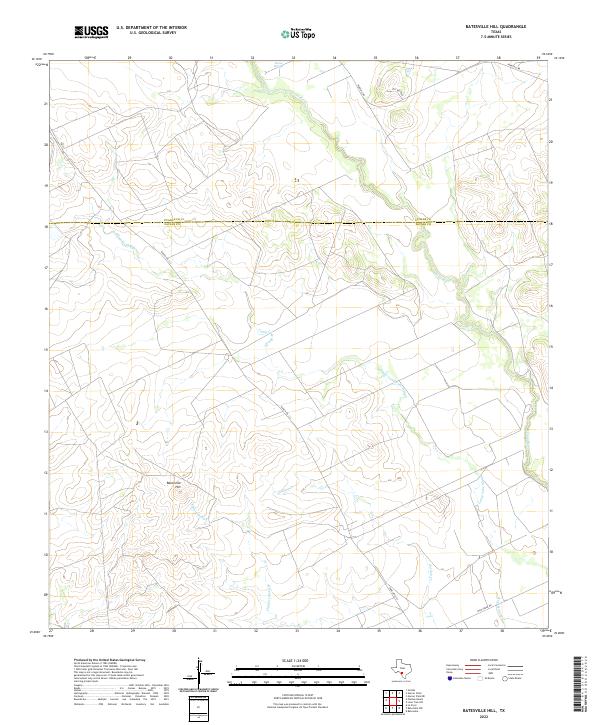
2022 Batesville Hill
Zavala County, TX
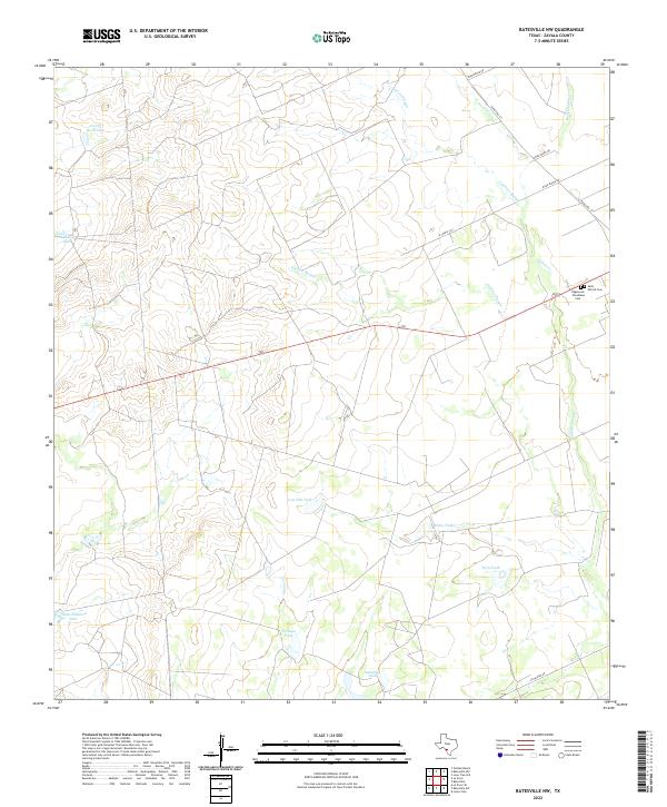
2022 Batesville NW
Zavala County, TX
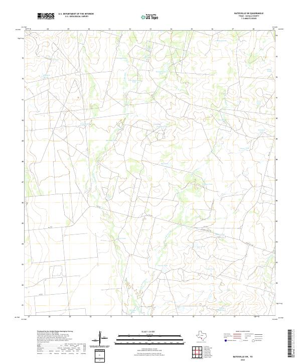
2022 Batesville SW
Zavala County, TX
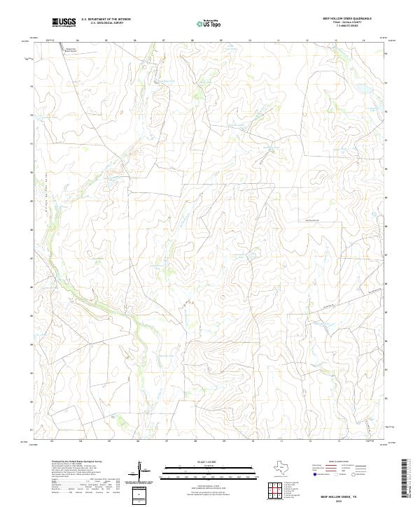
2022 Beef Hollow Creek
Zavala County, TX
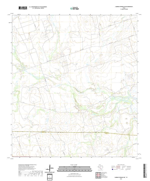
2022 Carrizo Springs NW
Zavala County, TX
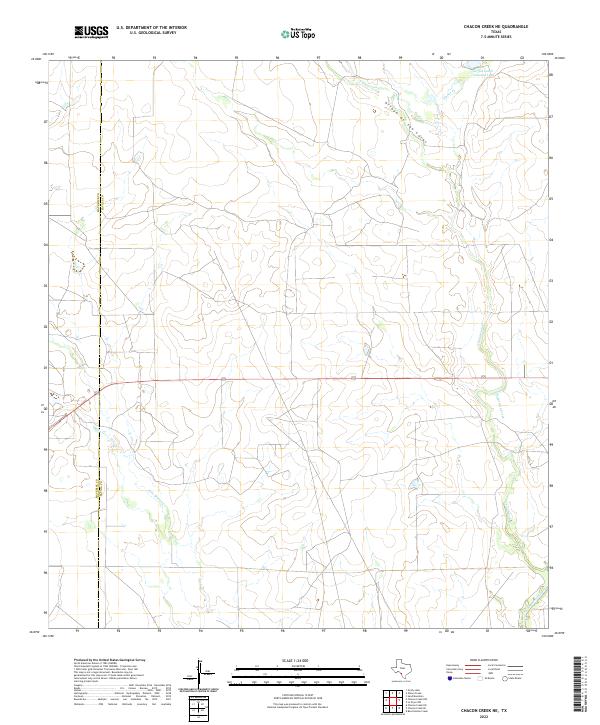
2022 Chacon Creek NE
Zavala County, TX
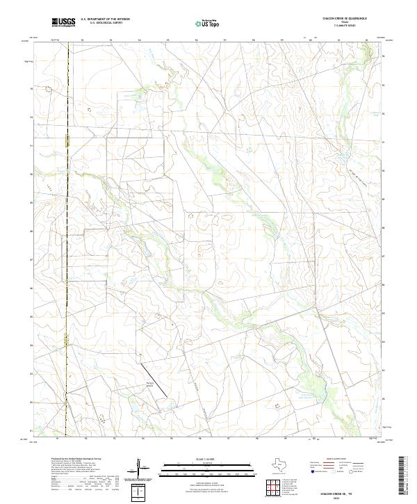
2022 Chacon Creek SE
Zavala County, TX
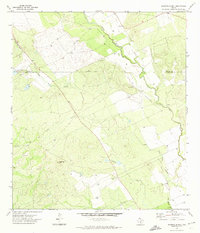
2022 Cometa
Zavala County, TX
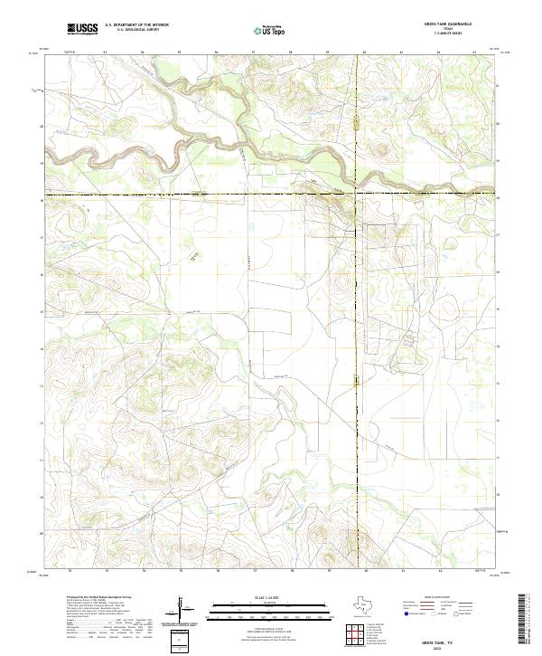
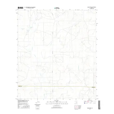
2022 Gross Tank
Zavala County, TX
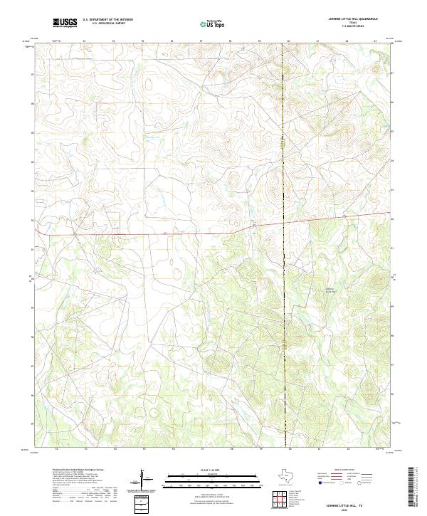
2022 Johnnie Little Hill
Zavala County, TX
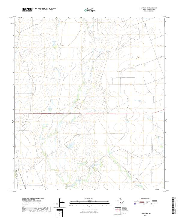
2022 La Pryor NW
Zavala County, TX
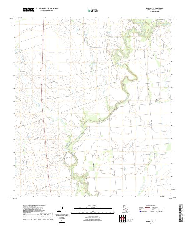
2022 La Pryor SE
Zavala County, TX
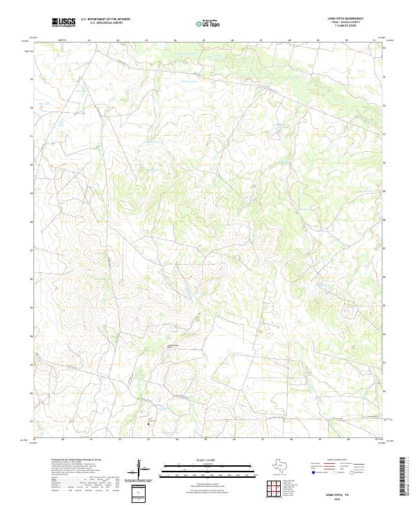
2022 Loma Vista
Zavala County, TX
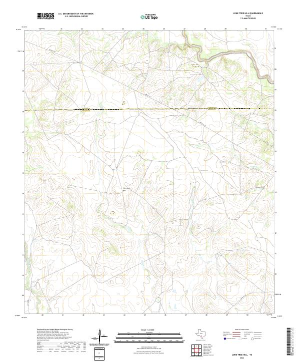
2022 Lone Tree Hill
Zavala County, TX
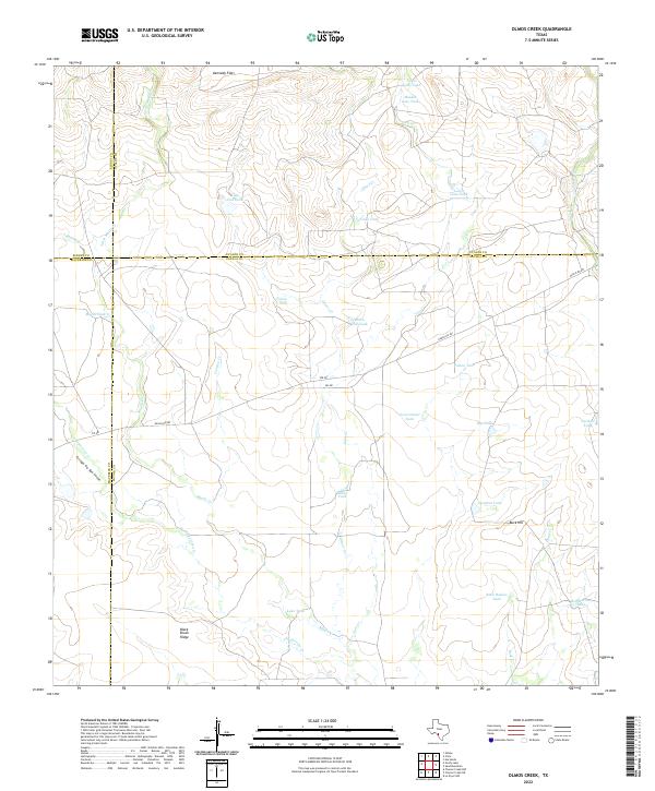
2022 Olmos Creek
Zavala County, TX
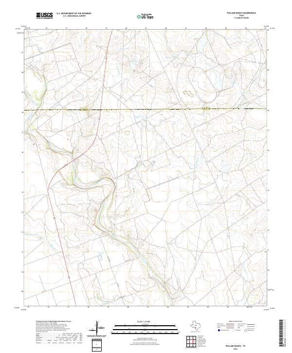
2022 Pulliam Ranch
Zavala County, TX
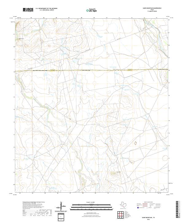
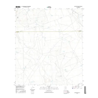
2022 Sand Mountain
Zavala County, TX
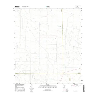
2022 Snake Creek
Zavala County, TX
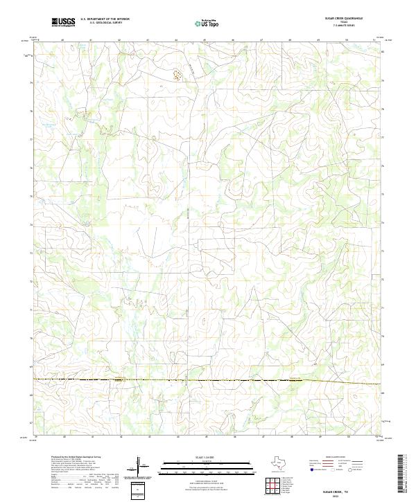
2022 Sugar Creek
Zavala County, TX
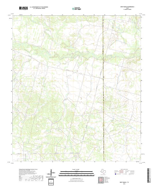
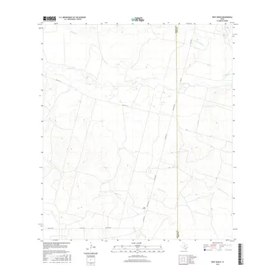
2022 West Ranch
Zavala County, TX
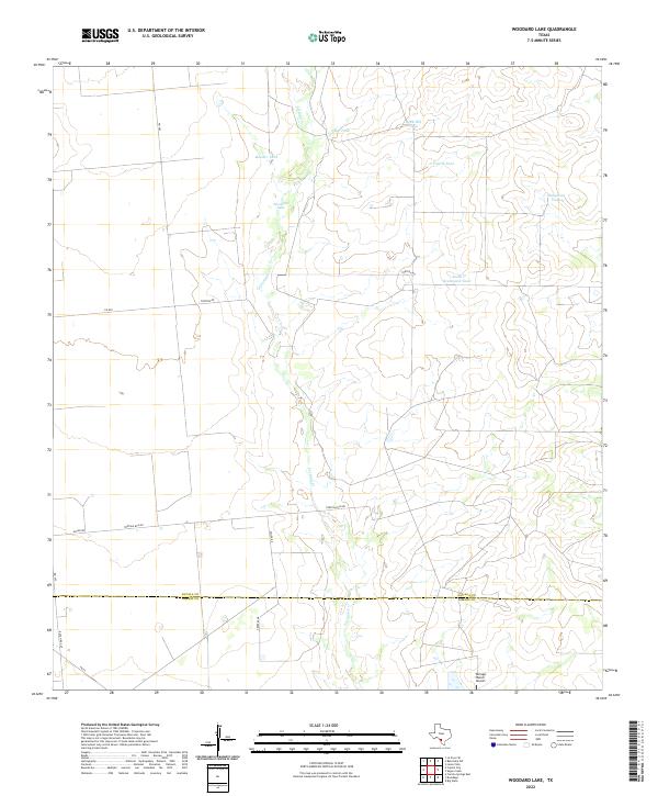
2022 Woodard Lake
Zavala County, TX