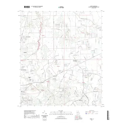
2020 Map of Comite
USGS Topo · Published 2020About this map
Comite River and its complex network of bayous define the landscape north of Baton Rouge in this contemporary 2020 survey. The area shows a transition from the established city of Baker and the community of Central to a dense collection of residential developments like Brownfields, Tanglewood, and Greendale. These modern neighborhoods are interspersed with older landmarks that offer significant value to genealogists and local historians, including the Lovett Cem, Devall Cem, and Shanks Cem.
Find a feature on this map
112 named features on this map. Tap any name to fly to it.
Don’t see what you’re looking for? This feature index may not catch every label — zoom into the map to look around manually.
Map Details
Editions of this 2020 Comite Map
This is the sole edition of this map. No revisions or reprints were ever made.
Other maps of this area

1906 · Bayou Sara
USGS Topo · 1:125,000

1908 · Baton Rouge
USGS Topo · 1:62,500

1934 · Denham Springs
USGS Topo · 1:62,500

1939 · Zachary
USGS Topo · 1:62,500

1939 · Denham Springs
USGS Topo · 1:62,500

1939 · Baton Rouge
USGS Topo · 1:62,500

1942 · Pride
USGS Topo · 1:31,680

1942 · Watson
USGS Topo · 1:31,680

1953 · Baton Rouge West
USGS Topo · 1:24,000
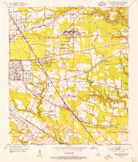
1953 · Baton Rouge East
USGS Topo · 1:24,000