Loading...
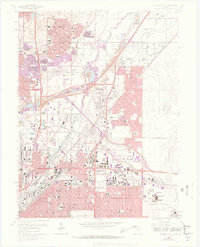
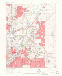
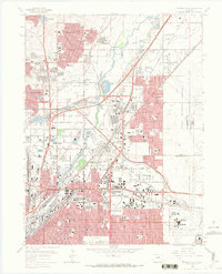
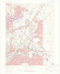
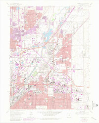
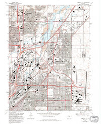
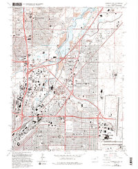
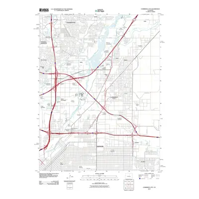
Loading map...1965 Map of Commerce City
USGS Topo · Published 1973About this map
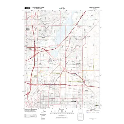
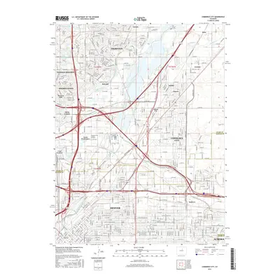
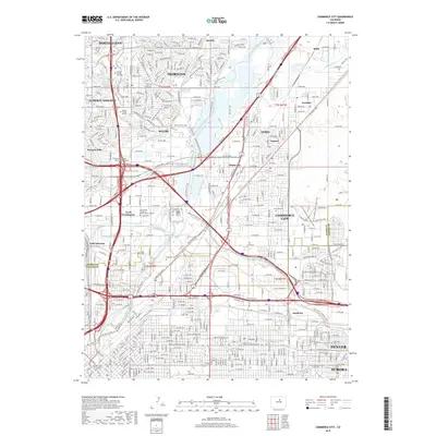
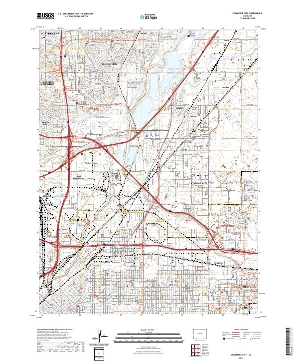
The South Platte River corridor serves as the industrial and transit backbone for this mid-1960s study of the northern Denver suburbs. Heavily marked by the presence of the Stapleton International Airport and the expansive Rocky Mountain Arsenal, the map captures a period of intense postwar expansion. Major rail lines including the Union Pacific and Burlington Northern converge at the Denver Union Stockyards, highlighting the area's role as a regional logistics hub.
Find a feature on this map
110 named features on this map. Tap any name to fly to it.
Don’t see what you’re looking for? This feature index may not catch every label — zoom into the map to look around manually.
Map Details
Date Portrayed1965
Date Published1973
PublisherU.S. Geological Survey
Map TypeTopographic
Scale1:24,000
Physical Dimensions22.1 x 27.3 inches
Editions of this 1965 Commerce City Map
7 editions found
Historical Maps of Aurora Through Time
6 maps found
Featured Locations
Source Details
SourceU.S. Geological Survey
CopyrightPublic Domain