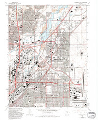
1965 Map of Commerce City
USGS Topo · Published 1994About this map
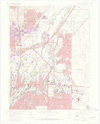
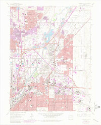
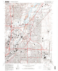
The South Platte River and its tributaries, Clear Creek and Sand Creek, anchor this industrial and residential landscape during a period of significant urban transition. The map captures Commerce City and the northern reaches of Denver as the regional economy shifted from traditional rail-and-stockyard roots toward modern redevelopment. Significant local history is found at the Denver Union Stockyard and the National Western Stockshow Complex, while the vast Rocky Mountain Arsenal occupies the eastern boundary. The presence of the Stapleton Redevelopment Site documents the transformation of former airport lands. Local social life and infrastructure are represented by the Mile-High Kennel Club, Riverside Cemetery, and numerous neighborhood institutions like Thornton High Sch and Adams City High Sch.
Find a feature on this map
98 named features on this map. Tap any name to fly to it.
Don’t see what you’re looking for? This feature index may not catch every label — zoom into the map to look around manually.
Map Details
Editions of this 1965 Commerce City Map
7 editions found
Other maps of this area

1890 · East Denver
USGS Topo · 1:125,000

1899 · West Denver
USGS Topo · 1:125,000

1935 · East Denver Nos. 3 and 4
USGS Topo · 1:48,000

1938 · Derby
USGS Topo · 1:24,000

1938 · Long Branch
USGS Topo · 1:24,000

1940 · Brighton
USGS Topo · 1:31,680

1940 · Englewood
USGS Topo · 1:31,680

1940 · Eastlake
USGS Topo · 1:31,680

1940 · Lafayette
USGS Topo · 1:31,680

1940 · Derby
USGS Topo · 1:31,680