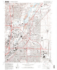
1965 Map of Commerce City
USGS Topo · Published 1994About this map
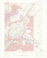
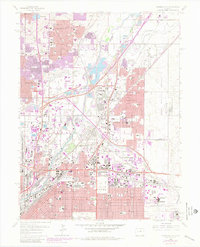
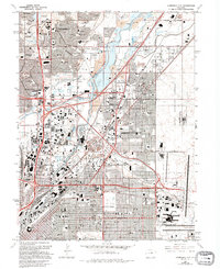
Commerce City and the surrounding industrial corridors of Adams County are captured here during a period of intense mid-century transition. The landscape is defined by the convergence of major transportation arteries, including the Valley Highway and a dense network of railroads such as the Union Pacific and Burlington Northern. This connectivity supported the massive operations at the Denver Union Stockyard and the National Western Stockshow Complex, which sit adjacent to the South Platte River.
Find a feature on this map
98 named features on this map. Tap any name to fly to it.
Don’t see what you’re looking for? This feature index may not catch every label — zoom into the map to look around manually.
Map Details
Editions of this 1965 Commerce City Map
7 editions found
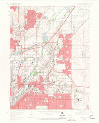
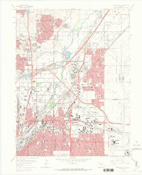
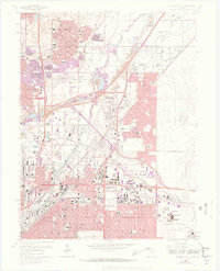
Other maps of this area

1890 · East Denver
USGS Topo · 1:125,000

1899 · West Denver
USGS Topo · 1:125,000

1935 · East Denver Nos. 3 and 4
USGS Topo · 1:48,000

1938 · Derby
USGS Topo · 1:24,000

1938 · Long Branch
USGS Topo · 1:24,000

1940 · Brighton
USGS Topo · 1:31,680

1940 · Englewood
USGS Topo · 1:31,680

1940 · Eastlake
USGS Topo · 1:31,680

1940 · Lafayette
USGS Topo · 1:31,680

1940 · Derby
USGS Topo · 1:31,680